Lincoln (CDP), Vermont
Lincoln, Vermont | |
|---|---|
 Lincoln  Lincoln | |
| Coordinates: 44°6′20″N 72°59′49″W / 44.10556°N 72.99694°W | |
| Country | United States |
| State | Vermont |
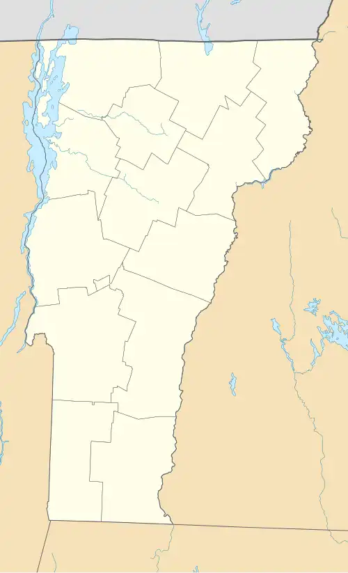
| County | Addison |
| Town | Lincoln |
| Area | |
• Total | 2.39 sq mi (6.18 km2) |
| • Land | 2.36 sq mi (6.11 km2) |
| • Water | 0.03 sq mi (0.07 km2) |
| Elevation | 971 ft (296 m) |
| Time zone | UTC-5 (Eastern (EST)) |
| • Summer (DST) | UTC-4 (EDT) |
| ZIP Code | 05443 |
| Area code | 802 |
| FIPS code | 50-40000 |
| GNIS feature ID | 2805701[2] |
Lincoln is the central settlement and a census-designated place (CDP) in the town of Lincoln, Addison County, Vermont, United States. It was first listed as a CDP prior to the 2020 census.[2]
It is in the eastern part of Addison County, at the center of the town of Lincoln, in the valley of the New Haven River, a west-flowing tributary of Otter Creek and part of the Lake Champlain watershed. Via West River Road, it is 5 miles (8 km) northwest to Bristol, while East River Road leads southeast from Lincoln village 3 miles (5 km) to South Lincoln. Lincoln Gap Road leaves from the southeast corner of the CDP and leads east over the crest of the Green Mountains at Lincoln Gap 8 miles (13 km) to the center of Warren.
References
- ^ "2020 U.S. Gazetteer Files – Vermont". United States Census Bureau. Retrieved October 1, 2021.
- ^ a b "Lincoln Census Designated Place". Geographic Names Information System. United States Geological Survey, United States Department of the Interior.
Municipalities and communities of Addison County, Vermont, United States | ||
|---|---|---|
| City |  | |
| Towns | ||
| CDPs | ||
| Other communities | ||