Litwar, West Virginia
Litwar | |
|---|---|
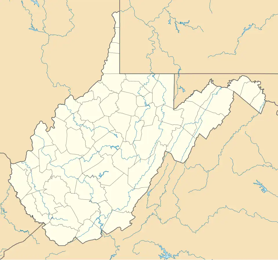 Litwar Location within West Virginia  Litwar Litwar (the United States) | |
| Coordinates: 37°28′53″N 81°50′18″W / 37.48139°N 81.83833°W | |
| Country | United States |
| State | West Virginia |
| County | McDowell |
| Elevation | 961 ft (293 m) |
| Time zone | UTC-5 (Eastern (EST)) |
| • Summer (DST) | UTC-4 (EDT) |
| Area codes | 304 & 681 |
| GNIS feature ID | 1554976[1] |
Litwar is an unincorporated community in McDowell County, West Virginia, United States. Litwar is located on the Tug Fork, 2 miles (3.2 km) west-northwest of Iaeger.
The community's name most likely was derived from nearby Little War Creek.[2]
The town is on the Norfolk Southern Railway (former Norfolk and Western) network.
References
- ^ U.S. Geological Survey Geographic Names Information System: Litwar, West Virginia
- ^ Kenny, Hamill (1945). West Virginia Place Names: Their Origin and Meaning, Including the Nomenclature of the Streams and Mountains. Piedmont, WV: The Place Name Press. p. 378.
Municipalities and communities of McDowell County, West Virginia, United States | ||
|---|---|---|
| Cities |  | |
| Towns | ||
| CDPs | ||
| Unincorporated communities |
| |
| Ghost town | ||
| Footnotes | ‡This populated place also has portions in an adjacent county or counties | |