Lluxita (Cochabamba)
| Lluxita | |
|---|---|
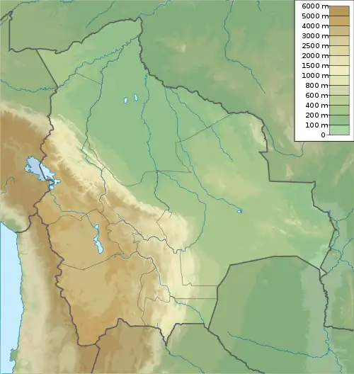 Lluxita Location in Bolivia | |
| Highest point | |
| Elevation | 4,606 m (15,112 ft)[1] |
| Coordinates | 17°42′19″S 66°51′40″W / 17.70528°S 66.86111°W |
| Geography | |
| Location | Bolivia, Cochabamba Department |
| Parent range | Andes |
Lluxita (Aymara lluxi shell of a mussel; landslide,[2][3] -ta a suffix, also spelled Llojeta) is a 4,606-metre-high (15,112 ft) mountain in the Bolivian Andes. It is located in the Cochabamba Department, Tapacari Province. Lluxita lies southeast of Q'ara Willk'i.[4]
References
- ^ Bolivian IGM map 1:50,000, Condeauqui 6240-IV
- ^ Radio San Gabriel, "Instituto Radiofonico de Promoción Aymara" (IRPA) 1993, Republicado por Instituto de las Lenguas y Literaturas Andinas-Amazónicas (ILLLA-A) 2011, Transcripción del Vocabulario de la Lengua Aymara, P. Ludovico Bertonio 1612 (Spanish-Aymara-Aymara-Spanish dictionary)
- ^ "Diccionario Quechua - Aymara al español". katari.org. Retrieved March 20, 2016.
- ^ "Tapacari". INE, Bolivia. Archived from the original on March 29, 2016. Retrieved March 20, 2016.
Capital: Cochabamba | ||
| Provinces |  | |
| Municipalities (and seats) |
| |