Lobo Canyon, New Mexico
Lobo Canyon, New Mexico | |
|---|---|
 Lobo Canyon  Lobo Canyon | |
| Coordinates: 35°13′37″N 107°44′12″W / 35.22694°N 107.73667°W | |
| Country | United States |
| State | New Mexico |
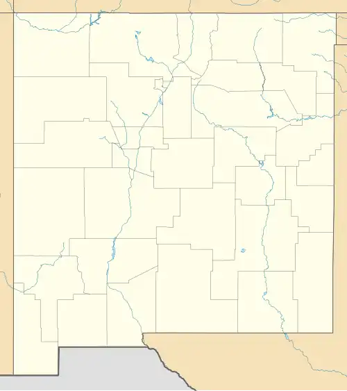
| County | Cibola |
| Area | |
• Total | 4.30 sq mi (11.14 km2) |
| • Land | 4.30 sq mi (11.14 km2) |
| • Water | 0.00 sq mi (0.00 km2) |
| Elevation | 7,349 ft (2,240 m) |
| Population | |
• Total | 146 |
| • Density | 33.95/sq mi (13.11/km2) |
| Time zone | UTC-7 (Mountain (MST)) |
| • Summer (DST) | UTC-6 (MDT) |
| ZIP Code | 87020 (Grants) |
| Area code | 505 |
| FIPS code | 35-41953 |
| GNIS feature ID | 2806693[2] |
Lobo Canyon is a census-designated place (CDP) in Cibola County, New Mexico, United States. It was first listed as a CDP prior to the 2020 census.[2]
The CDP is in northern Cibola County, 9 miles (14 km) northeast of Grants, the county seat. It is along New Mexico State Road 547 in a valley called Lobo Canyon, at the base of La Jara Mesa.
Demographics
| Census | Pop. | Note | %± |
|---|---|---|---|
| 2020 | 146 | — | |
| U.S. Decennial Census[4][3] | |||
References
- ^ "ArcGIS REST Services Directory". United States Census Bureau. Retrieved October 12, 2022.
- ^ a b c U.S. Geological Survey Geographic Names Information System: Lobo Canyon, New Mexico
- ^ a b "Census Population API". United States Census Bureau. Retrieved October 12, 2022.
- ^ "Census of Population and Housing". Census.gov. Retrieved June 4, 2016.
Municipalities and communities of Cibola County, New Mexico, United States | ||
|---|---|---|
| City |  | |
| Village | ||
| CDPs |
| |
| Other communities | ||
| Indian reservations | ||
| Footnotes | ‡This populated place also has portions in an adjacent county or counties | |