Loch Dochard
| Loch Dochard | |
|---|---|
 | |
 Loch Dochard | |
| Location | Argyll and Bute, Scotland |
| Coordinates | 56°32′09″N 4°54′27″W / 56.5358°N 4.9074°W[1] |
| Type | freshwater loch |
| Basin countries | Scotland |
| Max. length | 1.06 km (0.66 mi)[2] |
| Max. width | 0.48 km (0.3 mi)[2] |
| Surface area | 35.9 ha (89 acres)[1] |
| Average depth | 3.7 m (12 ft)[2] |
| Max. depth | 13 m (42 ft)[2] |
| Water volume | 1,500,000 m3 (54,000,000 cu ft)[2] |
| Shore length1 | 5.7 km (3.5 mi)[1] |
| Surface elevation | 221 m (725 ft)[1] |
| Islands | 1[1] |
| 1 Shore length is not a well-defined measure. | |
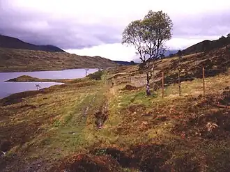
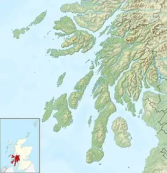
Loch Dochard is an upland freshwater loch lying approximately 6 km (3.7 mi) west of Bridge of Orchy in Argyll and Bute, Scottish Highlands. The loch has an irregular shape with a perimeter of 3 km (1.9 mi). It is approximately 1.06 km (0.66 mi) long, has an average depth of 3.7 m (12 ft) and is 13 m (42 ft) at its deepest. The loch was surveyed[2] on 18 May 1903 by Sir John Murray and later charted[3] as part of his Bathymetrical Survey of Fresh-Water Lochs of Scotland 1897-1909.
References
- ^ a b c d e "Loch Dochard". British lakes. British Lakes. Retrieved 12 June 2016.
- ^ a b c d e f "Bathymetrical Survey of the Fresh-Water Lochs of Scotland, 1897-1909, Lochs of the Etive Basin". National Library of Scotland. Retrieved 12 June 2016.
- ^ "Loch Dochard (Vol. 6, Plate 127), Bathymetrical Survey, 1897-1909". National Library of Scotland. Retrieved 12 June 2016.