Long Sault 12
Long Sault 12 | |
|---|---|
| Long Sault Indian Reserve No. 12 | |
 Long Sault 12 | |
| Coordinates: 48°39′N 94°07′W / 48.650°N 94.117°W | |
| Country | |
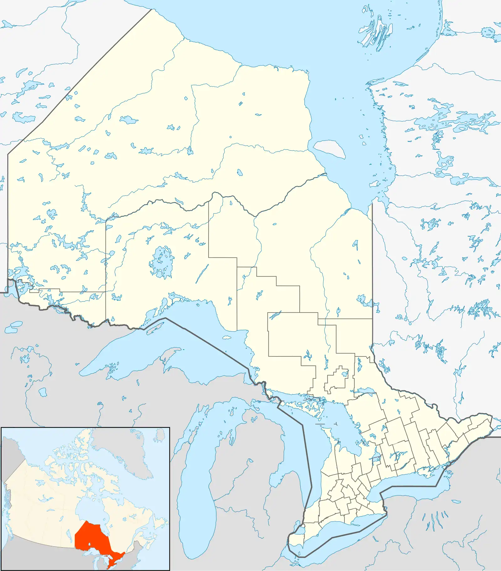
| Province | |
| District | Rainy River |
| First Nation | Rainy River |
| Area | |
| • Land | 48.16 km2 (18.59 sq mi) |
| Population (2021)[1] | |
• Total | 0 |
| • Density | 0/km2 (0/sq mi) |
| Website | www.rainyrverfirstnations.com |
Long Sault 12 is a First Nations reserve in northwestern Ontario, Canada. It is one of the reserves of the Rainy River First Nations.
References
- ^ a b "Long Sault 12 census profile". 2021 Census of Population. Statistics Canada. 9 February 2022. Retrieved 5 May 2024.
Places adjacent to Long Sault 12 | ||||||||||||||||
|---|---|---|---|---|---|---|---|---|---|---|---|---|---|---|---|---|
| ||||||||||||||||
| Towns | 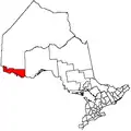 | |
|---|---|---|
| Townships | ||
| First Nations | ||
| Indian reserves |
| |
| Unorganized areas | ||
| Unincorporated communities | ||
| ||