Luzancy
Luzancy | |
|---|---|
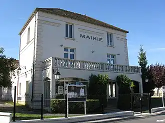 The town hall in Luzancy | |
Location of Luzancy | |
 Luzancy 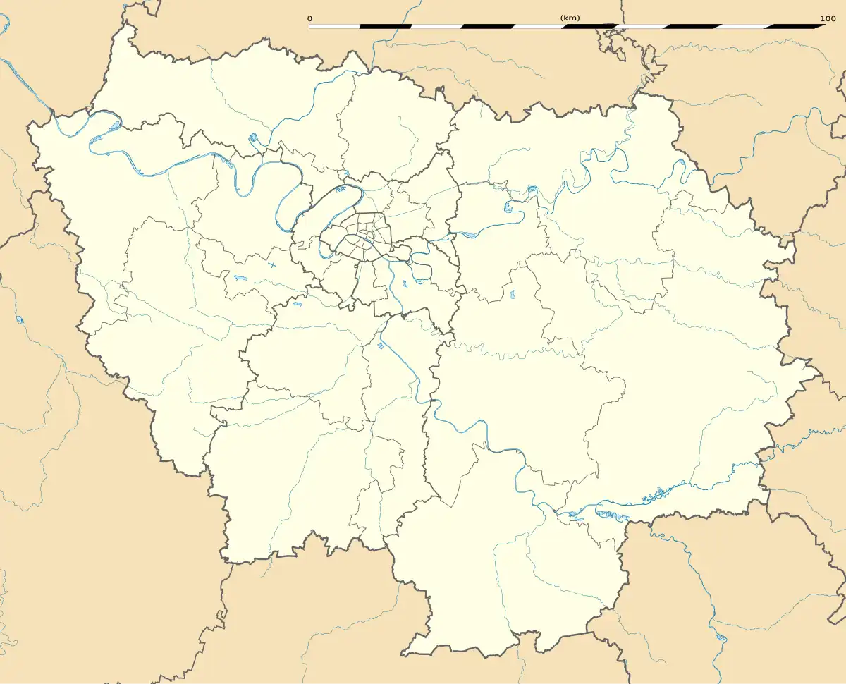 Luzancy | |
| Coordinates: 48°58′19″N 3°11′13″E / 48.9719°N 3.1869°E | |
| Country | France |
| Region | Île-de-France |
| Department | Seine-et-Marne |
| Arrondissement | Meaux |
| Canton | La Ferté-sous-Jouarre |
| Intercommunality | CA Coulommiers Pays de Brie |
| Government | |
| • Mayor (2023–2026) | Joëlle Canini[1] |
Area 1 | 6.58 km2 (2.54 sq mi) |
| Population (2022)[2] | 1,048 |
| • Density | 160/km2 (410/sq mi) |
| Time zone | UTC+01:00 (CET) |
| • Summer (DST) | UTC+02:00 (CEST) |
| INSEE/Postal code | 77265 /77138 |
| Elevation | 52–167 m (171–548 ft) |
| 1 French Land Register data, which excludes lakes, ponds, glaciers > 1 km2 (0.386 sq mi or 247 acres) and river estuaries. | |
Luzancy (French pronunciation: [lyzɑ̃si] ⓘ) is a commune in the Seine-et-Marne department in the Île-de-France region in north-central France.
Demographics
Inhabitants are called Luzancéens.
See also
References
- ^ "Répertoire national des élus: les maires" (in French). data.gouv.fr, Plateforme ouverte des données publiques françaises. 6 June 2023.
- ^ "Populations de référence 2022" (in French). The National Institute of Statistics and Economic Studies. 19 December 2024.
External links
Wikimedia Commons has media related to Luzancy.
- 1999 Land Use, from IAURIF (Institute for Urban Planning and Development of the Paris-Île-de-France région) (in English)
- Base Mérimée: Search for heritage in the commune, Ministère français de la Culture. (in French)