Madhabdanga
Madhabdanga | |
|---|---|
Village | |
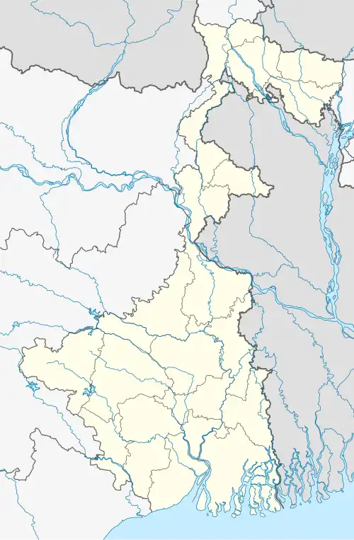 Madhabdanga Location in West Bengal, India  Madhabdanga Madhabdanga (India) | |
| Coordinates: 26°32′N 88°48′E / 26.54°N 88.80°E | |
| Country | |
| State | West Bengal |
| District | Jalpaiguri |
| Government | |
| • Type | Gram panchayat |
| Population (2011) | |
• Total | 1,423 |
| Languages | |
| • Official | Bengali, English |
| Time zone | UTC+5:30 (IST) |
| PIN | 735224[1] |
| Lok Sabha constituency | Jalpaiguri |
| Vidhan Sabha constituency | Maynaguri |
Madhabdanga is a village located in Maynaguri CD block in the Jalpaiguri Sadar subdivision of the Jalpaiguri district in the state of West Bengal, India.[2][3]
References
- ^ "Madhabdanga Pin Code". abplive.com. Retrieved 21 May 2025.
- ^ "DISTRICT CENSUS HANDBOOK JALPAIGURI" (PDF). 2011 census of India, DIRECTORATE OF CENSUS OPERATIONS WEST BENGAL. Retrieved 21 May 2025.
- ^ "Village : Madhabdanga". Retrieved 21 May 2025.
Cities, towns and locations in Jalpaiguri district | |||||||
|---|---|---|---|---|---|---|---|
| Cities, municipal and census towns |
| ||||||
| Locations other than cities and towns |
| ||||||
| Tea estates | |||||||
| Related topics |
| ||||||