Mahindwara
Mahindwara | |
|---|---|
Village | |
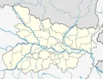 Mahindwara Location in Bihar, India  Mahindwara Mahindwara (India) | |
| Coordinates: 26°20′07″N 85°24′27″E / 26.3352°N 85.4075°E | |
| Country | |
| State | Bihar |
| District | Sitamarhi |
| Population (2011) | |
• Total | 3,677 |
| Time zone | IST |
Mahindwara is a village and a gram panchayat located in the Runisaidpur subdivision of the Sitamarhi District in Bihar, India. The nearest town is Sitamarhi.
Geography
Mahindwara is located at 26°20′07″N 85°24′27″E / 26.3352°N 85.4075°E.
Demographics
As of the 2011 India census, Mahindwara had a population of 3,677. Males constitute 1,930 and females 1,747. Mahindwara has an average literacy rate of 65.25%.: male literacy is 77.12%%, and female literacy is 51.73%.[1]
References