Mahurakala
Mahura Kalan
Mahura Kalān | |
|---|---|
Village | |
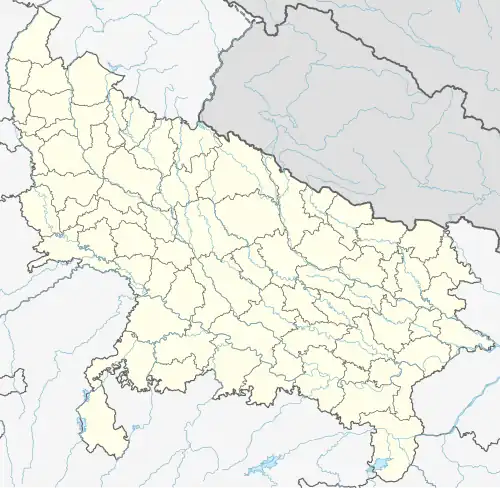 Mahura Kalan Location in Uttar Pradesh, India  Mahura Kalan Mahura Kalan (India) | |
| Coordinates: 26°43′44″N 81°07′43″E / 26.72884°N 81.12857°E | |
| Country | |
| State | Uttar Pradesh |
| District | Lucknow |
| Area | |
• Total | 0.798 km2 (0.308 sq mi) |
| Elevation | 115 m (377 ft) |
| Population (2011)[1] | |
• Total | 3,019 |
| • Density | 3,800/km2 (9,800/sq mi) |
| Languages | |
| • Official | Hindi |
| Time zone | UTC+5:30 (IST) |
Mahurakala is a village in Gosainganj block of Lucknow district, Uttar Pradesh, India. As of 2011, its population is 3,019, in 599 households.[1] It is the seat of a gram panchayat.[2]
References
- ^ a b c "Census of India 2011: Uttar Pradesh District Census Handbook - Lucknow, Part A (Village and Town Directory)". Census 2011 India. pp. 185–202. Retrieved 15 March 2021.
- ^ "Villages | District Lucknow, Government of Uttar Pradesh | India". lucknow.nic.in.