Majhari
Majhari
Majhāri | |
|---|---|
Village | |
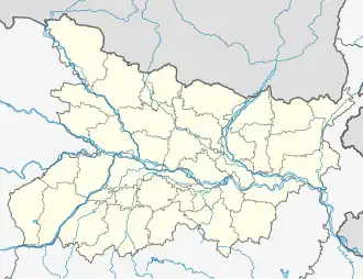 Majhari Location in Bihar, India  Majhari Majhari (India) | |
| Coordinates: 25°09′44″N 83°40′02″E / 25.16232°N 83.66734°E[1] | |
| Country | India |
| State | Bihar |
| District | Kaimur |
| Area | |
• Total | 3.96 km2 (1.53 sq mi) |
| Elevation | 83 m (272 ft) |
| Population (2011) | |
• Total | 3,448[2] |
| Languages | |
| • Official | Bhojpuri, Hindi |
| Time zone | UTC+5:30 (IST) |
Majhari is a village in Mohania block of Kaimur district, Bihar, India. As of 2011, its population was 3,448, in 505 households.[2]
References
- ^ a b "Geonames.org. Majhāri". Retrieved 3 February 2021.
- ^ a b c "Census of India 2011: Bihar District Census Handbook - Kaimur, Part A (Village and Town Directory)". Census 2011 India. pp. 344–423. Retrieved 3 February 2021.