Maleikoniai
Maleikoniai | |
|---|---|
Village | |
 | |
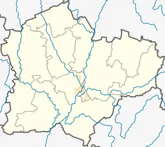 Maleikoniai Location in Lithuania 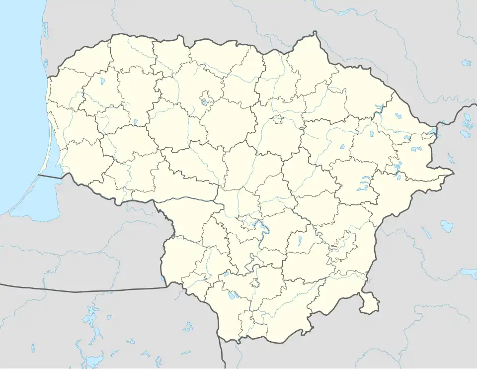 Maleikoniai Maleikoniai (Lithuania) | |
| Coordinates: 55°12′00″N 23°48′22″E / 55.20000°N 23.80611°E | |
| Country | |
| County | |
| Municipality | Kėdainiai district municipality |
| Eldership | Josvainiai Eldership |
| Population (2011) | |
• Total | 55 |
| Time zone | UTC+2 (EET) |
| • Summer (DST) | UTC+3 (EEST) |
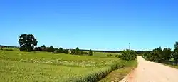
Maleikoniai (Malaikoniai, Maleikonys, formerly Russian: Малайковичи, Polish: Małakowicze)[1] is a village in Kėdainiai district municipality, in Kaunas County, in central Lithuania. According to the 2011 census, the village had a population of 55 people.[2] It is located 1.5 kilometres (0.93 mi) from Kunioniai, between the Slajus rivulet and the Pernarava-Šaravai Forest, alongside the 299 Aristava-Kėdainiai-Cinkiškiai road.
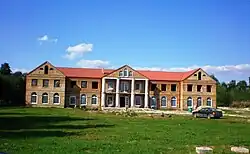
There is a new manor style conference hall and rural tourism house.[3]
Demography
|
| ||||||||||||||||||||||||||||||
| Source: 1902, 1923, 1959 & 1970, 1979, 1989, 2001, 2011 | |||||||||||||||||||||||||||||||
References
- ^ "Małakowicze". Geographical Dictionary of the Kingdom of Poland (in Polish). 15 pt. 2. Warszawa: Kasa im. Józefa Mianowskiego. 1902. p. 297.
- ^ "2011 census". Statistikos Departamentas (Lithuania). Retrieved August 21, 2017.
- ^ Vilija Mockuvienė. "Dvaras iškilo plyname lauke". Kėdainių Mugė. Archived from the original on 2018-01-07. Retrieved 2018-01-01.