Mallasvesi
| Mallasvesi | |
|---|---|
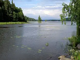 Mallasvesi in Valkeakoski | |
 Mallasvesi | |
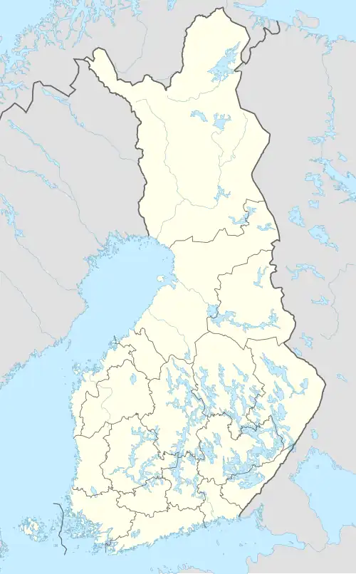
| Location | Pälkäne, Valkeakoski |
| Coordinates | 61°18′N 24°10′E / 61.300°N 24.167°E |
| Type | Lake |
| Primary inflows | Kostianvirta, Sulkusalmi |
| Primary outflows | Valkeakoski rapids |
| Catchment area | Kokemäenjoki |
| Basin countries | Finland |
| Surface area | 55.711 km2 (21.510 sq mi) |
| Average depth | 6.84 m (22.4 ft) |
| Max. depth | 32.89 m (107.9 ft) |
| Water volume | 0.384 km3 (311,000 acre⋅ft) |
| Shore length1 | 159.37 km (99.03 mi) |
| Surface elevation | 84.2 m (276 ft) |
| Frozen | December–April |
| Islands | Hausalo (0.94 m2), Karhunsalo (0.37 m2) |
| Settlements | Valkeakoski, Pälkäne |
| References | [1] |
| 1 Shore length is not a well-defined measure. | |
Mallasvesi is a medium-sized lake in Finland. The lake is part of the Kokemäenjoki basin and located in the municipalities of Pälkäne and Valkeakoski in the Pirkanmaa region. It is a part of a chain of lakes that begins from the lakes Lummene, Vehkajärvi and Vesijako at the drainage divide between the Kokemäenjoki and Kymijoki basins and flows westwards through lakes Kukkia, Iso-Roine, Hauhonselkä and Ilmoilanselkä.[1]
See also
References
- ^ a b Mallasvesi in the Jarviwiki Web Service. Retrieved 2014-03-07. (in English)