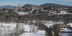
Malnate
Malnate
Malnate | |
|---|---|
| Comune di Malnate | |
 | |
.svg.png) | |
Location of Malnate | |
 Malnate Location of Malnate in Italy 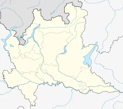 Malnate Malnate (Lombardy) | |
| Coordinates: 45°48′N 08°53′E / 45.800°N 8.883°E | |
| Country | Italy |
| Region | Lombardy |
| Province | Varese (VA) |
| Frazioni | Folla, Gurone, Rovera, San Salvatore |
| Government | |
| • Mayor | Maria Irene Bellifemine [1] (PD) |
| Area | |
• Total | 8 km2 (3 sq mi) |
| Elevation | 355 m (1,165 ft) |
| Population (31 December 2020)[2] | |
• Total | 16,375 |
| • Density | 2,000/km2 (5,300/sq mi) |
| Demonym | Malnatesi |
| Time zone | UTC+1 (CET) |
| • Summer (DST) | UTC+2 (CEST) |
| Postal code | 21046 |
| Dialing code | 0332 |
| Patron saint | San Martino di Tours |
| Website | Official website |
Malnate is a comune (municipality) in the province of Varese, in the Italian region of Lombardy. It lies in a mountainous region approximately 30 miles (48 km) north of Milan, in the foothills of the Alps near the border between Italy and Switzerland.[3]
Curiosities and historical facts about Malnate can be found in the book "La Cava",[4] published by Macchione Editore and released in December every year since 1994.
References
- ^ "Superficie di Comuni Province e Regioni italiane al 9 ottobre 2011". Italian National Institute of Statistics. Retrieved 16 March 2019.
- ^ "Popolazione Residente al 1° Gennaio 2018". Italian National Institute of Statistics. Retrieved 16 March 2019.
- ^ Embury, Stuart P. (2006). "Chapter One: The Early Years". The Art and Life of Luigi Lucioni. Embury Publishing Company. p. 1.
- ^ La Cava. Azzate: Macchione Editore. 1994.