Mamonovka
| Mamonovka | |
|---|---|
 | |
| Location | |
| Country | |
| Physical characteristics | |
| Source | |
| • location | near Wysoka Braniewska, Warmian–Masurian Voivodeship, Poland |
| • elevation | 110 m (360 ft) |
| Mouth | Vistula Lagoon |
• location | west of Baltiysk, Kaliningrad Oblast, Russia |
• coordinates | 54°29′00″N 19°52′01″E / 54.48333°N 19.86694°E |
• elevation | 0 m (0 ft) |
| Length | 49.57 km (30.80 mi) |
| Basin size | 214.9 m2 (2,313 sq ft) |
| Discharge | |
| • average | 1.2 m3/s (42 cu ft/s) |
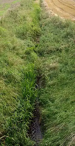
The Mamonovka or Banovka (Russian: Мамоновка, Polish: Banówka, German: Bahnau) is a river between Russia (Kaliningrad Oblast) and Poland (Warmian-Masurian Voivodship). It flows into the Vistula Lagoon. It is 51 km long and has a 311 km2 drainage basin.
The Ignatievka River and the Vitushka River are tributaries of the Mamonovka.
External links
,%20%CB%E8%F2%E2%E0,%20%C1%E5%EB%EE%F0%F3%F1%FC)/N34-052%20%20%20%C1%C0%CB%D2%C8%C9%D1%CA%20%2071-84-86%20%20(-).jpg)