Mananantanana
| Mananantanana | |
|---|---|
 Mananantanana | |
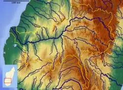
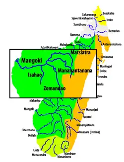
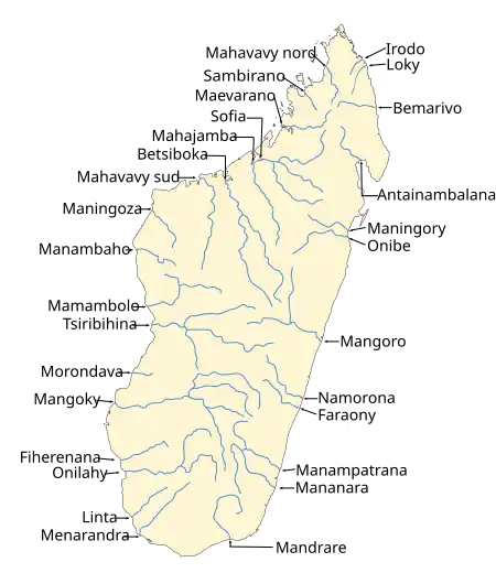 Map of Malagasy rivers. | |
| Location | |
| Country | Madagascar |
| Region | Haute Matsiatra |
| Physical characteristics | |
| Source | |
| • location | Tsitondroina |
| • elevation | 1850 m |
| Mouth | Mangoky River |
• coordinates | 21°26′00″S 45°34′00″E / 21.43333°S 45.56667°E |
| Length | 350 km (220 mi) |
| Basin size | 7680 km2 |
| Basin features | |
| Progression | Solila, Ambalavao |
| River system | Mangoky River |
| Tributaries | |
| • right | Manambovo |
The Mananantanana is a river in Haute Matsiatra region, is located in eastern Madagascar. It flows into the Mangoky River.[1]
It has its springs in the Andringitra Massif. Together with the Matsiatra it forms the Mangoky River.