Mani, Karnataka
Mani | |
|---|---|
village | |
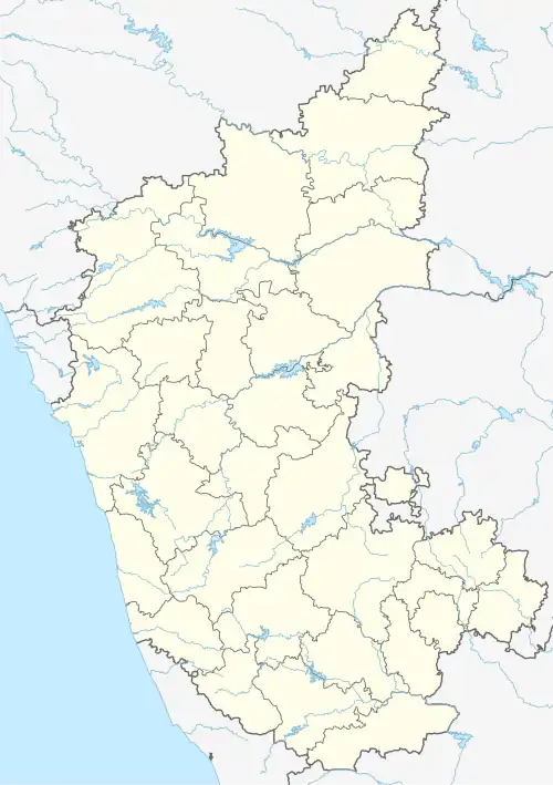 Mani Location in Karnataka, India | |
| Coordinates: 12°49′52″N 75°06′11″E / 12.831°N 75.103°E | |
| Country | |
| State | Karnataka |
| District | Dakshina Kannada |
| Government | |
| • Type | Panchayat raj |
| • Body | Gram panchayat |
| Languages | |
| • Official | Kannada, Tulu |
| Time zone | UTC+5:30 (IST) |
| ISO 3166 code | IN-KA |
| Vehicle registration | KA |
| Website | karnataka |
Mani is a village in India, between Mangalore and Bangalore along the NH-75.[1] The terrain is hilly with paddy fields and arecanut plantations in between. Mani is the bifurcation point of NH-275.
References
- ^ "Details of PHC.s, Sub-Centres, Villages with population". Archived from the original on February 20, 2007. Retrieved February 16, 2024.