Manihi Airport
Manihi Airport Aérodrome de Manihi | |||||||||||
|---|---|---|---|---|---|---|---|---|---|---|---|
| Summary | |||||||||||
| Airport type | Public | ||||||||||
| Operator | DSEAC Polynésie Française | ||||||||||
| Serves | Manihi, French Polynesia | ||||||||||
| Location | Paeva | ||||||||||
| Elevation AMSL | 14 ft / 4 m | ||||||||||
| Coordinates | 14°26′15″S 146°04′15″W / 14.43750°S 146.07083°W | ||||||||||
| Map | |||||||||||
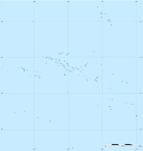 XMH Location of the airport in French Polynesia | |||||||||||
| Runways | |||||||||||
| |||||||||||
Source: French AIP.[1] | |||||||||||
Manihi Airport (IATA: XMH, ICAO: NTGI) is an airport serving Manihi, an atoll in the Tuamotu archipelago in French Polynesia. It is located 3 km northwest of the village of Paeva.[1]
Airlines and destinations
| Airlines | Destinations |
|---|---|
| Air Tahiti | Ahe, Papeete[2] |
Statistics
Annual passenger traffic at XMH airport.
See Wikidata query.
See also
References
- ^ a b NTGI – Manihi. AIP from French Service d'information aéronautique, effective 7 August 2025.
- ^ "Download forecast schedule - Official website - Air Tahiti".
External links