Manur (Tirunelveli)
Manur | |
|---|---|
Village | |
| Nickname: Maanoor | |
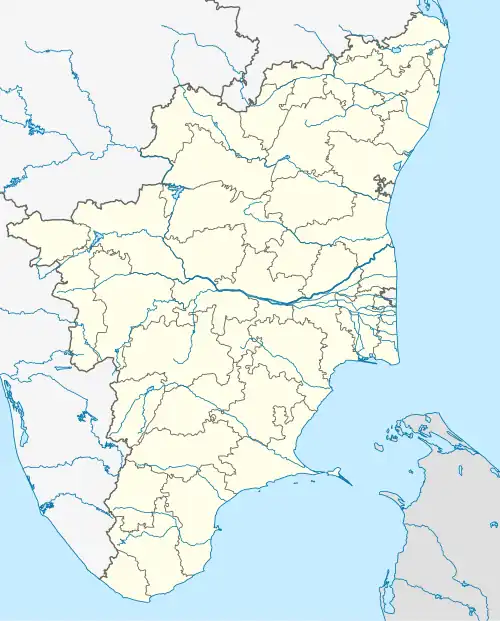 Manur Location in Tamil Nadu, India  Manur Manur (India) | |
| Coordinates: 8°51′17″N 77°39′09″E / 8.854643°N 77.652536°E | |
| Country | |
| State | Tamil Nadu |
| District | Tirunelveli |
| Talukas | Manur |
| Area | |
• Total | 1,336.05 km2 (515.85 sq mi) |
| Elevation | 49 m (161 ft) |
| Population (2011) | |
• Total | 4,348 |
| • Density | 3.3/km2 (8.4/sq mi) |
| Languages | |
| • Official | Tamil |
| Time zone | UTC+5:30 (IST) |
| PIN | 627951 |
| Telephone code | 0462xxx |
| Vehicle registration | TN72, TN76,TN79 |
| Largest city | Tirunelveli |
| Nearest city | Sankarankovil Mela Ilandaikulam Village |
| Literacy | 71.7% |
| Lok Sabha constituency | Tirunelveli |
Manur or Manoor is a Village in Manur taluk, Tirunelveli district, Tamil Nadu State, India.[1][2] It is situated along State highway 41 (SH-41) between Tirunelveli and Sankarankovil on the Road. This Village is located 26 Kilometre North Side of Tirunelveli.
Demographics
According to the 2011 census, the village of manur had a population of 4348 with 2161 males and 2187 females. The village had a literacy rate of 71.7%. Child population in the age group below 6 was 239 Males and 210 Females.[3]
See also
References
- ^ "Manur Taluka In Tirunelveli District". 11 October 2018. Archived from the original on 11 June 2008. Retrieved 22 January 2023.
- ^ New government college inaugurated at Manur
- ^ "Manur Population Totals - Tamil Nadu-Census 2011". Census of Tamil Nadu. Archived from the original on 17 June 2013. Retrieved 22 January 2023.