Manyii-Aghyui
Manyii-Aghyui
Ma̱nyii-A̠ghyui Bakin Kogi, Bakin Kogi Kazare | |
|---|---|
Village | |
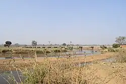 Kaduna River bridge at Manyii-Aghyui | |
 Manyii-Aghyui | |
| Coordinates: 09°54′33″N 08°25′10″E / 9.90917°N 8.41944°E [1] | |
| Country | |
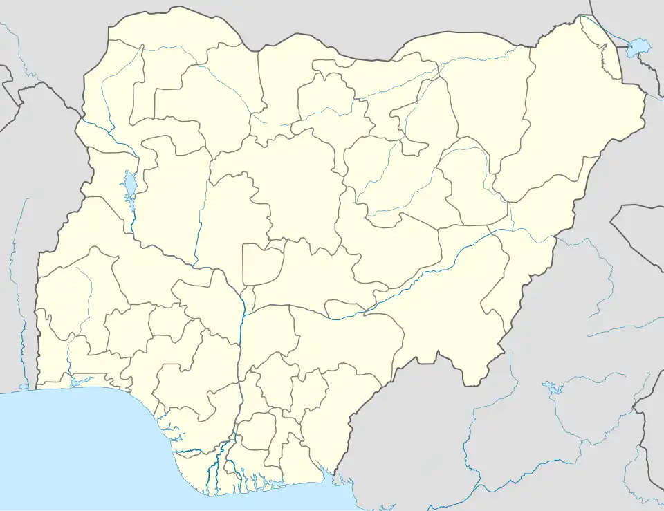
| State | Kaduna State |
| LGA | Zangon Kataf |
| District | Zonzon[1] |
| Time zone | UTC+01:00 (WAT) |
| Climate | Aw |
Manyii-Aghyui (Manyi-Aghyui, Tyap: Ma̱nyii-A̠ghyui, Hausa: Bakin Kogi) is a village community in Zonzon District of Zangon Kataf Local Government Area, southern Kaduna state in the Middle Belt region of Nigeria.[1] The postal code for the village is 802140.[2][3]
The area has an altitude of about 2,509 feet or 764 meters. The nearest airport to the community is the Yakubu Gowon Airport, Jos, located 50nm E.[4]
See also
References
- ^ a b c "Bakin Kogi Kazare, Zonzon, Zangon Kataf, Kaduna State, Nigeria". mindat.org. Retrieved August 13, 2025.
- ^ "Search Result - Bakin Kogi". Nigeria Postcode. Retrieved August 13, 2025.
- ^ "Post Offices- with map of LGA". NIPOST. Archived from the original on 2009-10-07. Retrieved August 13, 2025.
- ^ "Bakin Kogi, Nigeria Page". Fallingrain. Retrieved August 13, 2025.