Mapia, Dogiyai
Mapia | |
|---|---|
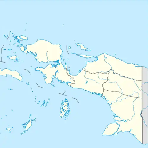 Mapia Location in Western New Guinea and Indonesia 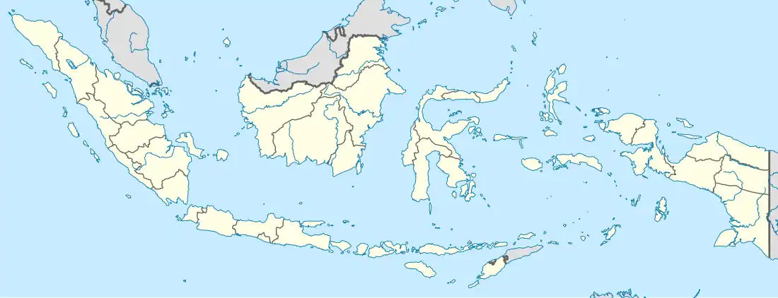 Mapia Mapia (Indonesia) | |
| Coordinates: 3°59′23.67″S 135°54′17.66″E / 3.9899083°S 135.9049056°E | |
| Country | Indonesia |
| Province | Central Papua |
| Regency | Dogiyai Regency |
| Population (2014) | |
• Total | 5,983 |
| Time zone | UTC+9 (IEST) |
| Area code | (+62) 971 |
| Villages | 7 |
3°59′23.67″S 135°54′17.66″E / 3.9899083°S 135.9049056°E
Mapia is a district of Dogiyai Regency, Central Papua, Indonesia.
As of the 2014 Census, the district has a population of 5,983. It consists of the villages Abaimaida, Abaugi/Obaikagopa, Bomomani, Dawaikunu, Gabaikunu, Gapoya, and Magode.