Maricopa Village, Arizona
Maricopa Village, Arizona | |
|---|---|
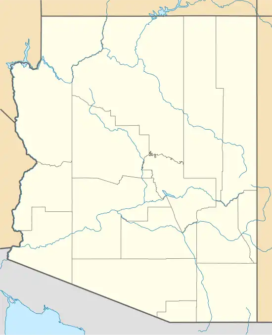 Maricopa Village Location within the state of Arizona  Maricopa Village Maricopa Village (the United States) | |
| Coordinates: 33°22′17″N 112°14′16″W / 33.37139°N 112.23778°W | |
| Country | United States |
| State | Arizona |
| County | Maricopa |
| Elevation | 978 ft (298 m) |
| Time zone | UTC-7 (Mountain (MST)) |
| • Summer (DST) | UTC-7 (MST) |
| Area code | 520 |
| FIPS code | 04-44550 |
| GNIS feature ID | 7702 |
Maricopa Village is a populated place situated in Maricopa County, Arizona, United States.[2] It has an estimated elevation of 978 feet (298 m) above sea level.[1]
References
- ^ a b "Feature Detail Report for: Maricopa Village". Geographic Names Information System. United States Geological Survey, United States Department of the Interior.
- ^ "Maricopa Village (in Maricopa County, AZ) Populated Place Profile". AZ Hometown Locator. Retrieved December 22, 2016.
Municipalities and communities of Maricopa County, Arizona, United States | ||
|---|---|---|
| Cities |  | |
| Towns | ||
| CDPs | ||
| Populated places |
| |
| Indian reservations | ||
| Ghost towns/ former populated places | ||
| Footnotes | ‡This populated place also has portions in an adjacent county or counties | |