Marion Township, Putnam County, Indiana
Marion Township | |
|---|---|
 | |
| Coordinates: 39°38′22″N 86°44′30″W / 39.63944°N 86.74167°W | |
| Country | United States |
| State | Indiana |
| County | Putnam |
| Government | |
| • Type | Indiana township |
| Area | |
• Total | 34.14 sq mi (88.4 km2) |
| • Land | 34.11 sq mi (88.3 km2) |
| • Water | 0.03 sq mi (0.08 km2) |
| Elevation | 820 ft (250 m) |
| Population (2020) | |
• Total | 1,890 |
| • Density | 55/sq mi (21/km2) |
| Time zone | UTC-5 (Eastern (EST)) |
| • Summer (DST) | UTC-4 (EDT) |
| Area code | 765 |
| FIPS code | 18-47034[2] |
| GNIS feature ID | 453612 |
Marion Township is one of thirteen townships in Putnam County, Indiana. As of the 2020 census, its population was 1,890 (up from 1,794 at 2010[3]) and it contained 790 housing units.
Geography
According to the 2010 census, the township has a total area of 34.14 square miles (88.4 km2), of which 34.11 square miles (88.3 km2) (or 99.91%) is land and 0.03 square miles (0.078 km2) (or 0.09%) is water.[3]
Cities and towns
Unincorporated towns
(This list is based on USGS data and may include former settlements.)
References
- ^ "US Board on Geographic Names". United States Geological Survey. October 25, 2007. Retrieved January 31, 2008.
- ^ "U.S. Census website". United States Census Bureau. Retrieved January 31, 2008.
- ^ a b "Population, Housing Units, Area, and Density: 2010 - County -- County Subdivision and Place -- 2010 Census Summary File 1". United States Census. Archived from the original on February 12, 2020. Retrieved May 10, 2013.
External links
Municipalities and communities of Putnam County, Indiana, United States | ||
|---|---|---|
| City | 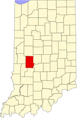 | |
| Towns | ||
| Townships | ||
| CDPs | ||
| Other communities | ||
| Footnotes | ‡This populated place also has portions in an adjacent county or counties | |