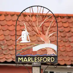
Marlesford
| Marlesford | |
|---|---|
 St Andrew's Church, Marlesford | |
 Marlesford Location within Suffolk | |
| Population | 233 (2011 Census) |
| Civil parish |
|
| District | |
| Shire county | |
| Region | |
| Country | England |
| Sovereign state | United Kingdom |
| Post town | WOODBRIDGE |
| Postcode district | IP13 |
| Dialling code | 01728 |
| Police | Suffolk |
| Fire | Suffolk |
| Ambulance | East of England |
| UK Parliament | |
Marlesford is a village and civil parish in the East Suffolk district of Suffolk, England. The population of the civil parish at the 2011 Census was 233.[1]
Location
The village is about two miles away from the small town of Wickham Market. Marlesford has a place of worship. The area of the village that is on the A12 road (where the pub was) is due to be bypassed. However, the scheme is currently on hold.[2][3]
The village was served by Marlesford railway station until it closed in 1952.
Notable residents
- H. A. Douglas-Hamilton (1853−1929), clergyman and cricketer
- Fitzedward Hall (1825−1901), Orientalist and philologist
- Mark Schreiber, Baron Marlesford (1931−2025), farmer and politician
References
- ^ "Civil Parish population 2011". Retrieved 15 September 2015.
- ^ "A1065 Brandon and A12 Four Villages Study". Retrieved 12 October 2009.
- ^ "A12 four villages bypass remains 'absolutely vital' - despite £133m funding setback". Retrieved 2 October 2018.
External links
- Genuki
 Media related to Marlesford at Wikimedia Commons
- Marlesford in the Domesday Book
- Historical Social Data on Marlesford
52°10′N 1°24′E / 52.167°N 1.400°E