Martinchel
Martinchel | |
|---|---|
 Coat of arms | |
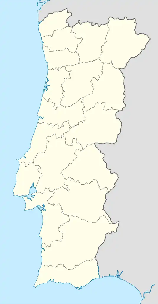 Martinchel Location in Portugal | |
| Coordinates: 39°32′13″N 8°18′40″W / 39.537°N 8.311°W | |
| Country | |
| Region | Oeste e Vale do Tejo |
| Intermunic. comm. | Médio Tejo |
| District | Santarém |
| Municipality | Abrantes |
| Area | |
• Total | 17.07 km2 (6.59 sq mi) |
| Population (2011) | |
• Total | 604 |
| • Density | 35/km2 (92/sq mi) |
| Time zone | UTC+00:00 (WET) |
| • Summer (DST) | UTC+01:00 (WEST) |
Martinchel is a Portuguese freguesia ("civil parish"), located in Abrantes municipality, in Santarém District. The population in 2011 was 604,[1] in an area of 17.07 km².[2]
References
- ^ Instituto Nacional de Estatística (INE), Census 2011 results according to the 2013 administrative division of Portugal
- ^ "Áreas das freguesias, concelhos, distritos e país". Archived from the original on 2018-11-05. Retrieved 2018-11-05.
Parishes of Abrantes Municipality | ||
|---|---|---|