Martinez Mountain (Riverside County)
| Martinez Mountain | |
|---|---|
 A view of Martinez Mountain from Pinyon Crest | |
| Highest point | |
| Elevation | 6,562 ft (2,000 m) |
| Geography | |
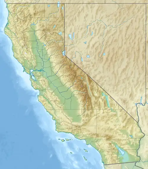 Martinez Mountain location of Martinez Mountain in California[1] | |
| Country | United States |
| State | California |
| County | Riverside County |
| Range coordinates | 33°33′26.24″N 116°20′43.46″W / 33.5572889°N 116.3454056°W |
| Parent range | Santa Rosa Mountains |
Martinez Mountain is a mountain summit of the Santa Rosa Mountains, in Riverside County, California.[1]
History
Martinez Mountain lies along a Cahuilla trail that was once used to get from the Coachella Valley to the Santa Rosa Mountains.[2]
See also
- Mountains of Riverside County, California
References
- ^ a b "Martinez Mountain". Geographic Names Information System. United States Geological Survey, United States Department of the Interior.
- ^ "Following ancestral Cahuilla trail, Torres Martinez tribe and local hiker to lead three-day November hike". Desert Sun. 2021-11-01. Retrieved 2025-02-05.
External links
 Media related to Martinez Mountain (Riverside County) at Wikimedia Commons
- U.S. Geological Survey Geographic Names Information System: Martinez Mountain