Mary Hill, Iowa
Mary Hill, Iowa | |
|---|---|
 Mary Hill, Iowa | |
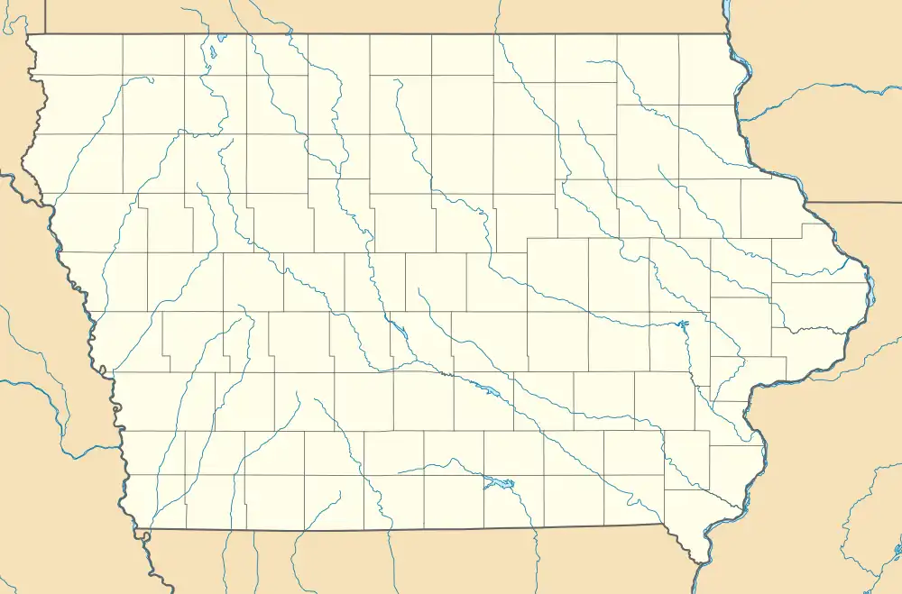
| Coordinates: 42°44′08″N 95°41′19″W / 42.73556°N 95.68861°W | |
| Country | United States |
| State | Iowa |
| County | Cherokee |
| Elevation | 1,381 ft (421 m) |
| Time zone | UTC-6 (Central (CST)) |
| • Summer (DST) | UTC-5 (CDT) |
| Area code | 712 |
| GNIS feature ID | 464644[1] |
Mary Hill is an unincorporated community in Rock and Sheridan townships, Cherokee County, Iowa, United States.[1] Mary Hill is located along County Highway L48, 7 miles (11 km) west of Cherokee.[2]
References
- ^ a b "Mary Hill". Geographic Names Information System. United States Geological Survey, United States Department of the Interior.
- ^ "Cherokee County, Iowa Highway and Transportation Map" (PDF). Iowa Department of Transportation. January 1, 2017. Retrieved July 6, 2018.
Municipalities and communities of Cherokee County, Iowa, United States | ||
|---|---|---|
| Cities | 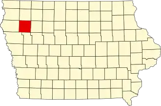 | |
| Townships | ||
| Unincorporated communities | ||