Mather, Pennsylvania
Mather, Pennsylvania | |
|---|---|
 Mather  Mather | |
| Coordinates: 39°56′08″N 80°04′31″W / 39.93556°N 80.07528°W | |
| Country | United States |
| State | Pennsylvania |
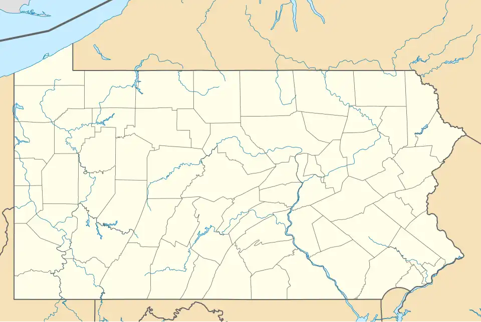
| County | Greene |
| Township | Morgan |
| Area | |
• Total | 0.88 sq mi (2.28 km2) |
| • Land | 0.88 sq mi (2.28 km2) |
| • Water | 0.00 sq mi (0.01 km2) |
| Elevation | 978 ft (298 m) |
| Population | |
• Total | 659 |
| • Density | 749.72/sq mi (289.56/km2) |
| Time zone | UTC-5 (Eastern (EST)) |
| • Summer (DST) | UTC-4 (EDT) |
| ZIP code | 15346 |
| FIPS code | 42-48064 |
| GNIS feature ID | 2630023 |
Mather is an unincorporated community and census-designated place in Morgan Township, Pennsylvania, United States. The community is located 1 mile (1.6 km) northwest of the borough of Jefferson, near Pennsylvania Route 188. It is 5 miles (8 km) northeast of Waynesburg, the Greene County seat. According to the 2010 census, the population of Mather was 737.[3]
Demographics
| Census | Pop. | Note | %± |
|---|---|---|---|
| 2010 | 737 | — | |
| 2020 | 659 | −10.6% | |
| U.S. Decennial Census[4] | |||
References
- ^ "ArcGIS REST Services Directory". United States Census Bureau. Retrieved October 12, 2022.
- ^ "Census Population API". United States Census Bureau. Retrieved October 12, 2022.
- ^ "Geographic Identifiers: 2010 Demographic Profile Data (G001): Mather CDP, Pennsylvania". American Factfinder. U.S. Census Bureau. Retrieved February 7, 2017.
- ^ "Census of Population and Housing". Census.gov. Retrieved June 4, 2016.
External links
Municipalities and communities of Greene County, Pennsylvania, United States | ||
|---|---|---|
| Boroughs |  | |
| Townships | ||
| CDPs | ||
| Unincorporated communities | ||