Mau, Chitrakoot
Mau | |
|---|---|
Town | |
_(1).jpg) NH 35 Passing Through Mau | |
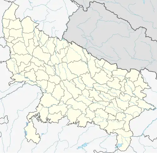 Mau Location in Chitrakoot, Uttar Pradesh, India 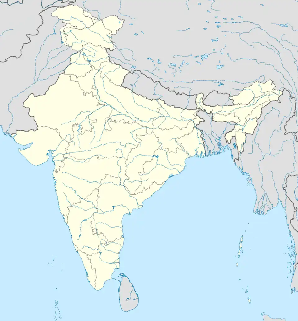 Mau Mau (India) | |
| Coordinates: 25°27′N 81°37′E / 25.450°N 81.617°E | |
| Country | |
| State | Uttar Pradesh |
| District | Chitrakoot |
| Government | |
| • Body | Government of Uttar Pradesh |
| Elevation | 108 m (354 ft) |
| Population (2011) | |
• Total | 15,382 |
| Languages | |
| • Official | Hindi, Bundeli |
| Time zone | UTC+5:30 (IST) |
| Vehicle registration | UP-96 |
| Website | chitrakoot |
Mau is town and a Nagar Panchayat in Chitrakoot District of Uttar Pradesh, India. It is also a Tehsil Headquarter.[1]
Geography
Mau is located at 25°16′N 81°22′E / 25.27°N 81.37°E.[2] It has an average elevation of 108 m (354 ft). Mau is on the bank of the Yamuna River.
Demographics
Mau has a population of 15,382 of which 8,045 are males while 7,337 are females, according to the 2011 census.[3]
Transportation
The NH 35 passes through Mau and connects it to nearby major cities. Mau is linked by private bus services to all nearest major cities.
References
- ^ "Chitrakoot".
- ^ "Maps, Weather, and Airports for Mau, India". www.fallingrain.com.
- ^ "Mau Mustkil Village Population - Mau - Chitrakoot, Uttar Pradesh". www.census2011.co.in.