Maxwelton, Washington
Maxwelton, Washington | |
|---|---|
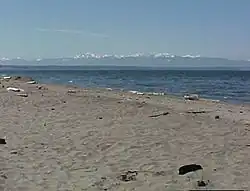 Maxwelton Beach | |
 Maxwelton  Maxwelton | |
| Coordinates: 47°56′14″N 122°26′40″W / 47.93722°N 122.44444°W | |
| Country | United States |
| State | Washington |
| County | Island |
| Established | 1908 |
| Elevation | 10 ft (3 m) |
| Time zone | UTC-8 (Pacific (PST)) |
| • Summer (DST) | UTC-7 (PDT) |
| Area code | 360 |
| GNIS feature ID | 1512437[1] |
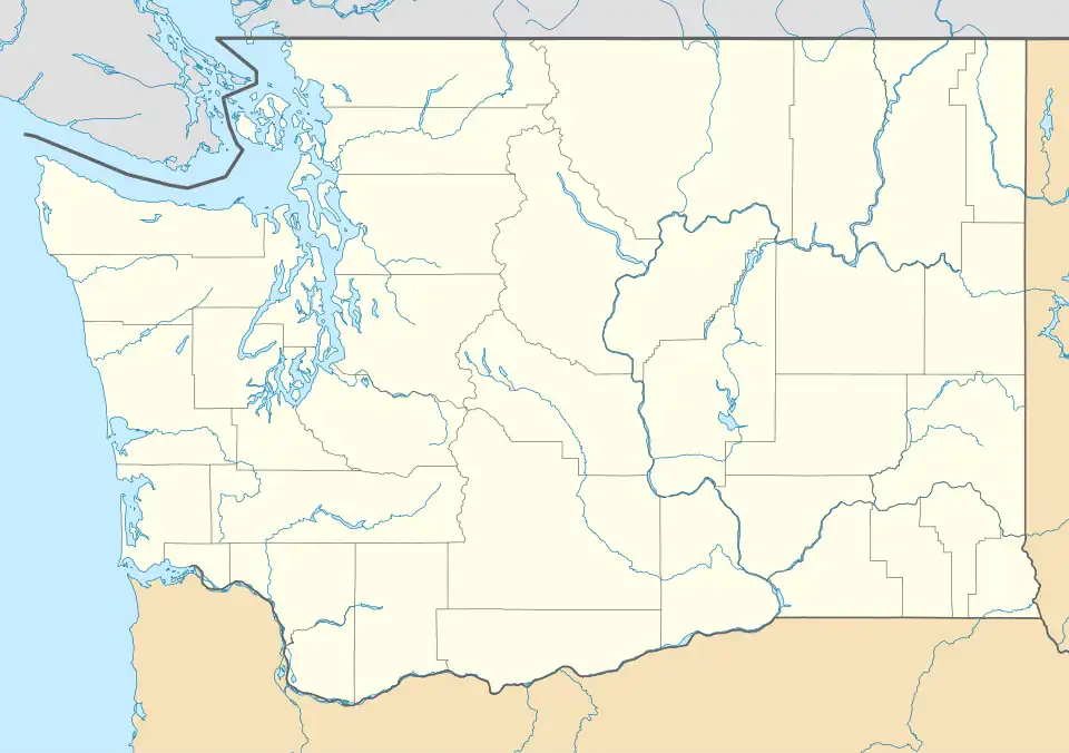
Maxwelton is an unincorporated community located on the south end of Whidbey Island, Washington.[2][3]
A post office called Maxwelton was established in 1908 and remained in operation until 1924.[4] The community was named after Maxwelltown, in Scotland.[5]
References
- ^ a b U.S. Geological Survey Geographic Names Information System: Maxwelton, Washington
- ^ The New Washington: A Guide to the Evergreen State. Best Books on. 1941. p. 524. ISBN 1623760461.
{{cite book}}: ISBN / Date incompatibility (help) - ^ McQuaide, Mike (2012). 75 Classic Rides Washington: The Best Road Biking Routes. The Mountaineers Books. p. 70. ISBN 978-1594855061.
- ^ "Post Offices". Jim Forte Postal History. Retrieved August 14, 2016.
- ^ Meany, Edmond S. (1923). Origin of Washington geographic names. Seattle: University of Washington Press. p. 161.
Municipalities and communities of Island County, Washington, United States | ||
|---|---|---|
| Cities |  | |
| Town | ||
| CDPs | ||
| Other communities | ||