Mayo-Kebbi Ouest Region
9°21′48″N 14°54′36″E / 9.36333°N 14.91000°E
Mayo-Kebbi Ouest
مايو كيبي الغربية | |
|---|---|
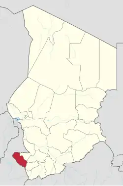 Map of Chad showing Mayo-Kebbi Ouest. | |
| Country | Chad |
| Departments | 2 |
| Sub-prefectures | 8 |
| Regional capital | Pala |
| Population (2009)[1] | |
• Total | 564,470 |
| Time zone | UTC+01:00 (WAT) |
Mayo-Kebbi Ouest (Arabic: مايو كيبي الغربية) is one of the 23 regions of Chad. Its capital is Pala. It is composed of the southern areas of the former prefecture of Mayo-Kebbi (sub-prefectures of Pala and Léré).
Geography
The region borders Mayo-Kebbi Est Region to the north-east, Tandjilé Region to the east, Logone Occidental Region to the south-east, and Cameroon to the west and north-west. The Mayo Kébbi river flows through the north the region, with Lake Léré and the smaller Lake Tréné located in the north-west.[2]
Settlements
Pala is the regional capital; other major settlements include Binder, Guégou, Lagon, Lamé, Léré and Torrock.[3]
Demographics
As per the 2009 Chadian census, the region had 564,470 inhabitants.[1] The main ethnolinguistic groups are the Fula, Gidar, Mangbai, Mundang, Ngeté-Herdé peoples, Peve, Sara groups such as the Ngambay, and Tupuri.[4]
Subdivisions
The region of Mayo-Kebbi Ouest is divided into four departments:
| Department | Capital | Sub-prefectures |
|---|---|---|
| El-Ouaya | Lagon | Lagon, Bissi-Mafou, Guelo, Guetalet |
| Lac Léré | Léré | Binder, Guégou, Lagon, Léré |
| Mayo-Binder | Binder | Binder, Mboursou, Mbraou, Ribao |
| Mayo-Dallah | Pala | Gagal, Lamé, Pala, Torrock |
References
- ^ a b DEUXIEME RECENSEMENT GENERAL DE LA POPULATION ET DE L'HABITAT: RESULTATS GLOBAUX DEFINITIFS (PDF) (Report). INSEED. March 2012. p. 24. Archived from the original (PDF) on 24 September 2015. Retrieved 10 March 2017.
- ^ A directory of African wetlands
- ^ "Tchad : Region du Mayo-Kebbi Ouest - Juin 2010" (PDF). UNOCHA. Retrieved 3 October 2019.
- ^ "Languages of Chad". Ethnologue. Retrieved 27 September 2019.
| ||