Mazhukeer
Mazhukeer | |
|---|---|
village | |
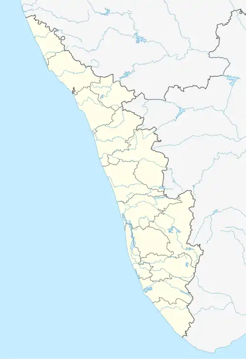 Mazhukeer Location in Kerala, India  Mazhukeer Mazhukeer (India) | |
| Coordinates: 9°20′40″N 76°35′40″E / 9.34444°N 76.59444°E | |
| Country | |
| State | Kerala |
| District | Alappuzha |
| Languages | |
| • Official | Malayalam, English |
| Time zone | UTC+5:30 (IST) |
| Telephone code | 2427 |
| Vehicle registration | KL- |
| Coastline | 0 kilometres (0 mi) |
| Nearest city | Chegannur, Thiruvalla |
| Climate | Tropical monsoon (Köppen) |
| Avg. summer temperature | 35 °C (95 °F) |
| Avg. winter temperature | 20 °C (68 °F) |
Mazhukeer is a village that lies in the Alappuzha district of Kerala in India. The village begins at Arattupuzha Bridge, which connects Pathanamthitta district and Allapuzha district and lies up to a church near Kallissery junction. The Varattar River is the eastern boundary of Mazhukeer. Mazhukeer is divided into two wards: Mel Mazukeer, or Mazukeermel (Upper Mazhukeer); and Keez Mazukeer, or Mazukeer (Lower Mazhukeer).[1]
References
- ^ "Grama Panchayat Wards | District Alappuzha, Government of Kerala | India". District Administration Alappuzha. Retrieved 19 May 2024.