McDade, North Carolina
McDade, North Carolina | |
|---|---|
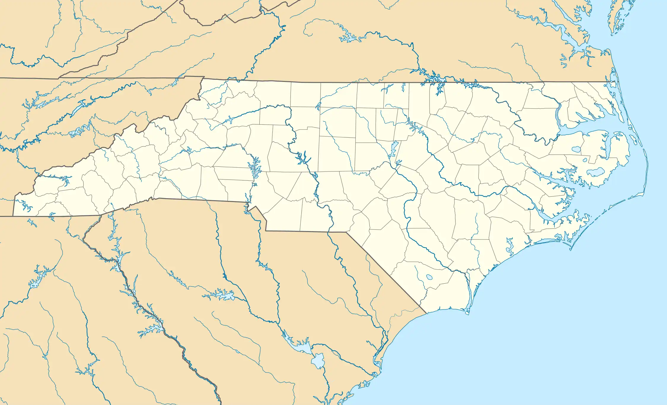 Location of McDade in North Carolina  McDade, North Carolina (the United States) | |
| Coordinates: 36°11′21″N 79°10′14″W / 36.18917°N 79.17056°W | |
| Country | United States |
| State | North Carolina |
| County | Orange |
| Elevation | 728 ft (222 m) |
| Time zone | UTC-5 (Eastern (EST)) |
| • Summer (DST) | UTC-4 (EDT) |
| Area code | 919 |
| GNIS feature ID | 989555[1] |
McDade is an unincorporated community in Orange County, North Carolina, United States, located between Carr and Cedar Grove. It lies at an elevation of 728 feet (222 m).
References
- ^ a b "McDade". Geographic Names Information System. United States Geological Survey, United States Department of the Interior. Retrieved May 26, 2008.
Municipalities and communities of Orange County, North Carolina, United States | ||
|---|---|---|
| Cities |  | |
| Towns | ||
| CDPs | ||
| Unincorporated communities | ||
| Footnotes | ‡This populated place also has portions in an adjacent county or counties | |