Menoio
Menoio | |
|---|---|
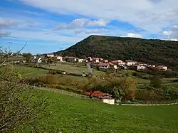 View of Menoio | |
 Menoio 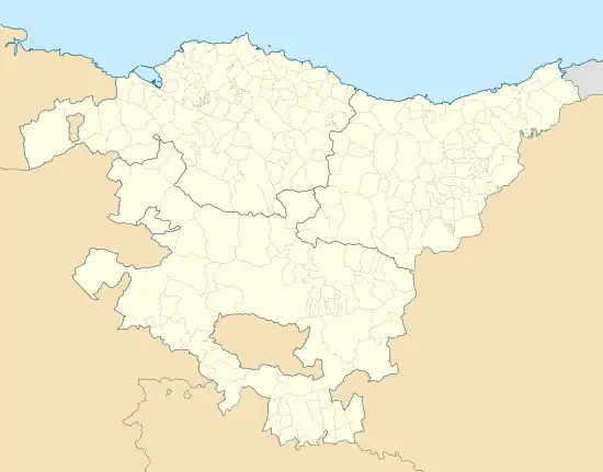 Menoio 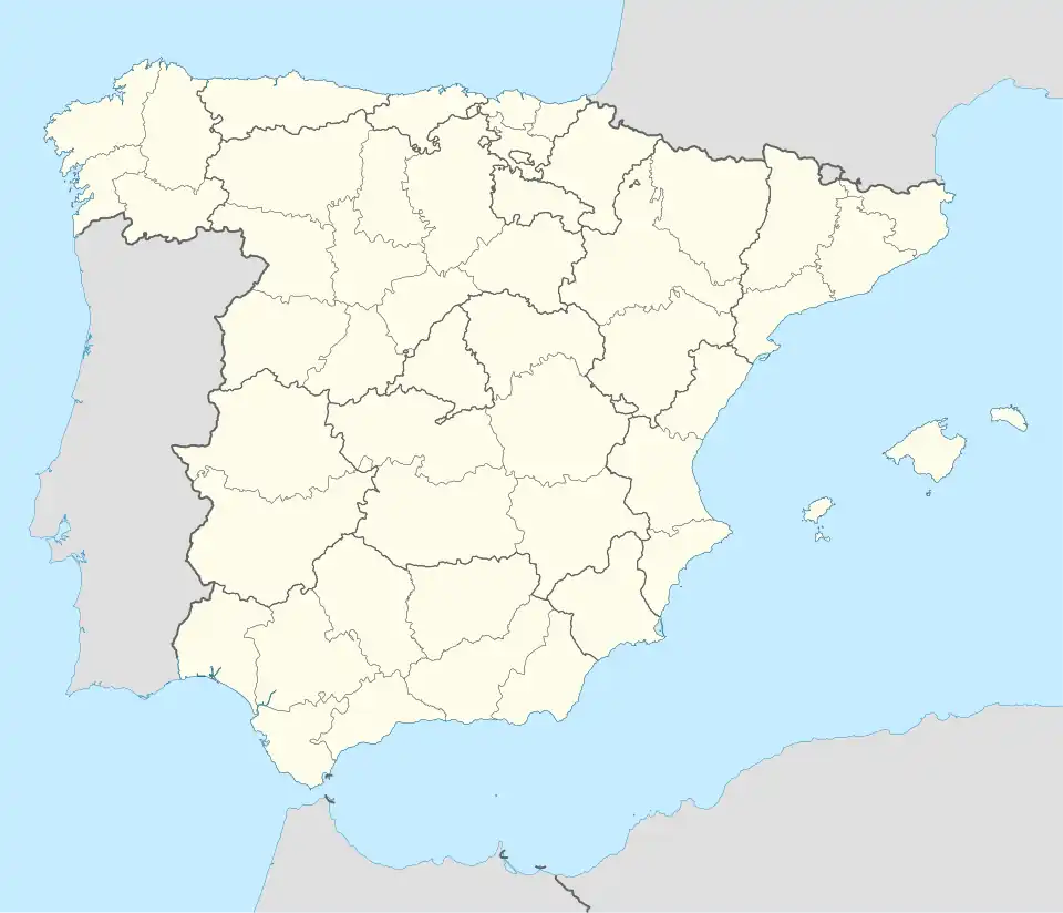 Menoio | |
| Coordinates: 43°04′11″N 3°04′22″W / 43.0697°N 3.0728°W | |
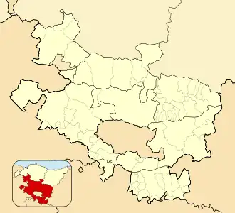
| Country | Spain |
| Autonomous community | Basque Country |
| Province | Álava |
| Comarca | Ayala |
| Municipality | Ayala/Aiara |
| Area | |
• Total | 4.40 km2 (1.70 sq mi) |
| Elevation | 466 m (1,529 ft) |
| Population (2023)[2] | |
• Total | 31 |
| • Density | 7.0/km2 (18/sq mi) |
| Postal code | 01477 |
Menoio (Spanish: Menoyo) is a hamlet and concejo in the municipality of Ayala/Aiara, in Álava province, Basque Country, Spain. The neighborhoods of Barrutxi, Butarte, Mendia, El Pico and La Plazuela form the urban area of Menoio, also known locally as El Campo.[3]
History and landmarks
The first written reference to Menoio dates from 1114, in which a certain Senior Alvar López de Menoio was mentioned in the donation of the monastery of Obaldia in Madaria to San Millán.[3]
The sanctuary of Our Lady of Etxaurren, patron saint of the municipality, is on the foothills of mount Eskorieta. A small rural neighborhood centered around the sanctuary existed until the mid-20th century. The most notable civil building in Menoio is the palace of Santa Casilda, built in the late 17th century.[4]
References
- ^ "Divisiones Administrativas SHP Líneas". GeoAraba. Diputación Foral de Álava. 10 June 2024. Retrieved 13 July 2024.
- ^ "Nomenclátor: Núcleos". Entidades Locales de Álava (in Spanish). Diputación Foral de Álava. 1 January 2023. Retrieved 13 July 2024.
- ^ a b Galé, Patxi; Gorrotxategi, Mikel; Mugurutza, Félix (2013). Aiarako toponimia nagusia / Toponimia mayor de Ayala (PDF) (in Basque and Spanish). Euskaltzaindia. pp. 220–227. ISBN 978-84-940717-1-3.
- ^ Erkizia Martikorena, Aintzane; Aginagalde López, Itziar. "Santa Casilda". Auñamendi Encyclopedia (in Spanish). Eusko Ikaskuntza. Retrieved 13 July 2024.
External links
 Media related to Menoio at Wikimedia Commons