Menongue Airport
Menongue Airport Aeroporto de Menongue | |||||||||||
|---|---|---|---|---|---|---|---|---|---|---|---|
| Summary | |||||||||||
| Airport type | Public | ||||||||||
| Operator | Government | ||||||||||
| Serves | Menongue, Angola | ||||||||||
| Elevation AMSL | 4,691 ft / 1,430 m | ||||||||||
| Coordinates | 14°39′25″S 17°43′05″E / 14.65694°S 17.71806°E | ||||||||||
| Map | |||||||||||
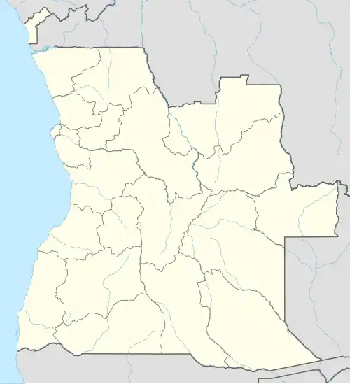 SPP Location of Airport in Angola | |||||||||||
| Runways | |||||||||||
| |||||||||||
Menongue Airport (Portuguese: Aeroporto de Menongue) (IATA: SPP, ICAO: FNME) is an airport serving Menongue, a municipality in the province of Cubango in Angola.
From 2008 to 2014 the expansion of their terminal building and lengthened.[5]
The Menongue non-directional beacon (Ident: ME) is located on the field.[6]
Airlines and destinations
| Airlines | Destinations |
|---|---|
| TAAG Angola Airlines | Luanda |
National Air Force of Angola
The 8th Training Squadron of the 24th Training Regiment is stationed here.
See also
References
- ^ Airport information for FNME from DAFIF (effective October 2006)
- ^ Airport information for SPP at Great Circle Mapper.
- ^ "FNME @ aerobaticsweb.org". Landings.com. Retrieved 31 July 2013.
- ^ Google Maps - Menongue
- ^ "■ ANGOLA: Menongue International Airport to come online before 2014 - Ceitas".
- ^ "SkyVector: Flight Planning / Aeronautical Charts". skyvector.com. Retrieved 27 July 2017.
External links