Merangkong
Merangkong | |
|---|---|
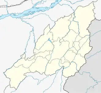 Merangkong Location in Nagaland, India  Merangkong Merangkong (India) | |
| Coordinates: 26°34′N 94°40′E / 26.567°N 94.667°E | |
| Country | |
| Region | Northeast India |
| State | Nagaland |
| District | Mokokchung |
| Elevation | 547.726 m (1,797.001 ft) |
| Languages | |
| • Dialect | Chungli |
| Time zone | UTC+5:30 (IST) |
| Vehicle registration | NL-02 |
| Website | nagaland |
Merangkong is an Ao Naga village located 40 km north of Mokokchung, Nagaland.[1] Merangkong is situated in the Langpangkong Range of Mokokchung District at an altitude of 1,797 ft above sea level.
Changtongya, 3 km to the south, is the nearest town. The census of 2001 put its population at 4052. The population is pushed up to 5570 if Merangkong Compound is included.