Mexhoma, Oklahoma
Mexhoma, Oklahoma | |
|---|---|
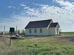 Mexhoma in April 2024 | |
 Mexhoma | |
| Coordinates: 36°43′10″N 102°59′05″W / 36.71944°N 102.98472°W | |
| Country | United States |
| State | Oklahoma |
| County | Cimarron |
| Elevation | 4,826 ft (1,471 m) |
| Time zone | UTC-6 (Central (CST)) |
| • Summer (DST) | UTC-5 (CDT) |
| Area code | 580 |
| GNIS feature ID | 1100631[1] |
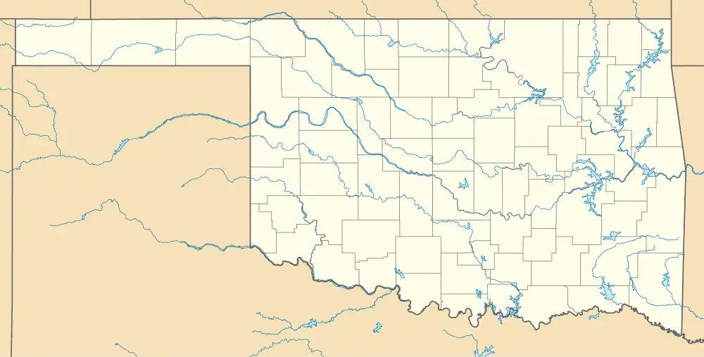
Mexhoma is an unincorporated community in Cimarron County, in the U.S. state of Oklahoma.[1] Located at the crossroads of N0020 Rd and E0200 Rd,[2] the locale is about 27.3 miles west of the county seat of Boise City,[3] and just one mile east of the New Mexico border.[2]
History
A post office called Mexhoma was established in 1909, and remained in operation until its closure in 1942.[4] Located near the state line, the community's name is a portmanteau of New Mexico and Oklahoma.[5]
References
- ^ a b c U.S. Geological Survey Geographic Names Information System: Mexhoma, Oklahoma
- ^ a b "Oklahoma State Line Road to Mexhoma, Oklahoma". Google Maps. Retrieved November 30, 2020.
- ^ "Boise City, Oklahoma to Mexhoma, Oklahoma". Google Maps. Retrieved November 30, 2020.
- ^ "Cimarron County". Jim Forte Postal History. Retrieved May 19, 2015.
- ^ Remington, Frank L. (September 8, 1969). "Take a Good Look at the US Map. Towns Have the Craziest Names". The Milwaukee Journal. p. 2. Retrieved May 18, 2015.
Municipalities and communities of Cimarron County, Oklahoma, United States | ||
|---|---|---|
| City |  | |
| Town | ||
| CDPs | ||
| Other unincorporated communities | ||