Mhezi
Mhezi Ward
Kata ya Mhezi (Swahili) | |
|---|---|
| Kata ya Mhezi, Wilaya ya Same | |
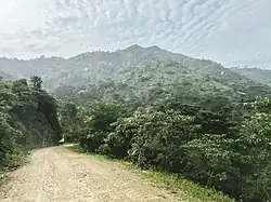 Scene in Mhezi Ward, Same District | |
 Mhezi Ward | |
| Coordinates: 4°9′32.04″S 37°52′4.8″E / 4.1589000°S 37.868000°E | |
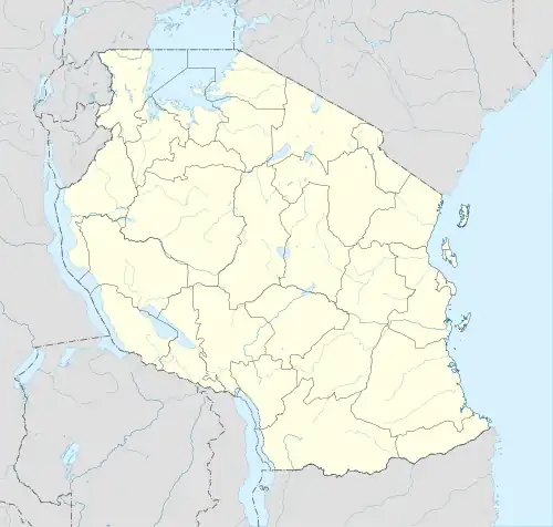
| Country | Tanzania |
| Region | Kilimanjaro Region |
| District | Same District |
| Area | |
• Total | 22.7 km2 (8.8 sq mi) |
| Elevation | 1,687 m (5,535 ft) |
| Population (2012) | |
• Total | 4,790 |
| • Density | 210/km2 (550/sq mi) |
Mhezi is an administrative ward in Same District of Kilimanjaro Region in Tanzania. The ward covers an area of 22.7 km2 (8.8 sq mi),[1] and has an average elevation of 1,687 m (5,535 ft).[2] According to the 2012 census, the ward has a total population of 4,790.[3]
References
- ^ "Tanzania: Northern Tanzania (Districts and Wards) – Population Statistics, Charts and Map".
- ^ "Mhezi Ward Elevation".
- ^ "2012 Population and Housing Census General Report" (PDF). Government of Tanzania. Retrieved 2022-02-21.