Miłakowo
Miłakowo | |
|---|---|
_(1).jpg) Town center with the Saints Elisabeth and Adalbert church | |
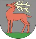 Coat of arms | |
 Miłakowo | |
| Coordinates: 54°0′N 20°4′E / 54.000°N 20.067°E | |
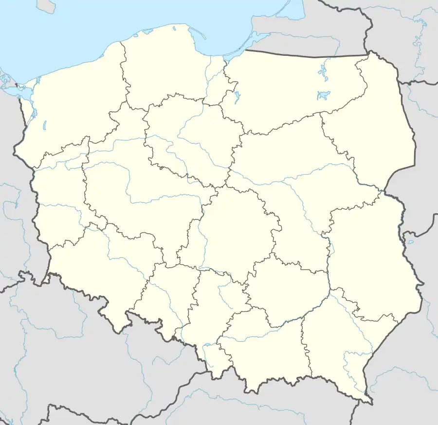
| Country | |
| Voivodeship | Warmian-Masurian |
| County | Ostróda |
| Gmina | Miłakowo |
| Founded | 1302 |
| Area | |
• Total | 8.68 km2 (3.35 sq mi) |
| Population (2010)[1] | |
• Total | 2,692 |
| • Density | 310/km2 (800/sq mi) |
| Time zone | UTC+1 (CET) |
| • Summer (DST) | UTC+2 (CEST) |
| Postal code | 14-310 |
| Vehicle registration | NOS |
| Website | www.milakowo.ug.net.pl |
Miłakowo [mʲiwaˈkɔvɔ] (German: Liebstadt)[2] is a town in Ostróda County, Warmian-Masurian Voivodeship, in northern Poland,[3] with 2,692 inhabitants (2010). It is situated on the Miłakówka River in the region of Powiśle.
The Polish noble family of Sadliński lived near the town.[4]
Demographics
|
| |||||||||||||||||||||||||||
| Source: [5][1] | ||||||||||||||||||||||||||||
References
- ^ a b Stan i struktura ludności oraz ruch naturalny w przekroju terytorialnym w 2010 r. (PDF) (in Polish). Warszawa: Główny Urząd Statystyczny. 2011. p. 101. Archived from the original (PDF) on 13 November 2011.
- ^ "Map of East Prussia, 1939".
- ^ "Główny Urząd Statystyczny" [Central Statistical Office] (in Polish). To search: Select "Miejscowości (SIMC)" tab, select "fragment (min. 3 znaki)" (minimum 3 characters), enter town name in the field below, click "WYSZUKAJ" (Search).
- ^ Kętrzyński, Wojciech (1882). O ludności polskiej w Prusiech niegdyś krzyżackich (in Polish). Lwów: Zakład Narodowy im. Ossolińskich. p. 585.
- ^ Dokumentacja Geograficzna (in Polish). Vol. 3/4. Warszawa: Instytut Geografii Polskiej Akademii Nauk. 1967. p. 30.
External links
![]() Media related to Miłakowo at Wikimedia Commons
Media related to Miłakowo at Wikimedia Commons
| Town and seat | | |
|---|---|---|
| Villages | ||