Midvale, Montana
Midvale, Montana | |
|---|---|
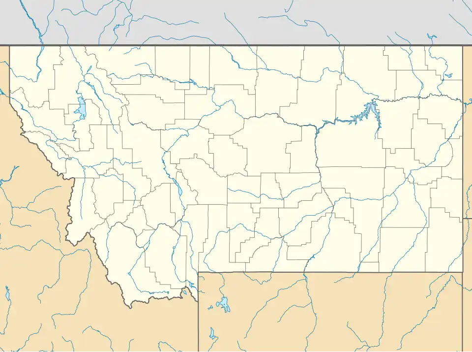 Midvale Location of Midvale, Montana  Midvale Midvale (the United States) | |
| Coordinates: 48°53′25″N 115°03′16″W / 48.89028°N 115.05444°W | |
| Country | United States |
| State | Montana |
| County | Lincoln |
| Area | |
• Total | 0.42 sq mi (1.08 km2) |
| • Land | 0.42 sq mi (1.08 km2) |
| • Water | 0.00 sq mi (0.00 km2) |
| Elevation | 2,599 ft (792 m) |
| Population (2010) | |
• Total | 393 |
| • Density | 940/sq mi (360/km2) |
| Time zone | UTC-7 (Mountain (MST)) |
| • Summer (DST) | UTC-6 (MDT) |
| Area code | 406 |
| GNIS feature ID | 2583830[1] |
Midvale is a former census-designated place (CDP) in Lincoln County, Montana, United States. The population was 393 at the 2010 census.[2] The area was on the north side of the town of Eureka, but was annexed by the town after 2010.[3]
References
- ^ a b U.S. Geological Survey Geographic Names Information System: Midvale, Montana
- ^ "U.S. Census website". United States Census Bureau. Retrieved May 14, 2011.
- ^ "TIGERweb: Eureka, Montana". Geography Division, U.S. Census Bureau. Retrieved April 28, 2020.
Municipalities and communities of Lincoln County, Montana, United States | ||
|---|---|---|
| Cities |  | |
| Towns | ||
| CDPs | ||
| Other communities | ||