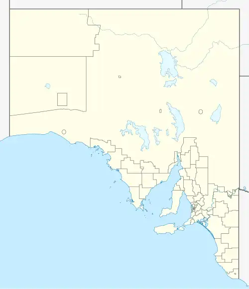
Mingary, South Australia
| Mingary South Australia | |
|---|---|
.jpg) Passing through Mingary on the Barrier Highway, March 2020 | |
 Mingary | |
| Coordinates | 32°7′48″S 140°44′15″E / 32.13000°S 140.73750°E |
| Population | 75 (2016 census)[1] |
| Postcode(s) | 5440 |
| Time zone | AEST (UTC+9:30) |
| • Summer (DST) | AEDT (UTC+10:30) |
| LGA(s) | Outback Communities Authority |
| Region | Far North |
| State electorate(s) | Stuart[2] |
| Federal division(s) | Grey[3] |
Mingary is a small rural locality in the Outback Communities Authority of South Australia, Australia.
At the 2016 census, the town recorded a population of 75.[1]
References
- ^ a b Australian Bureau of Statistics (27 June 2017). "Mingary". 2016 Census QuickStats. Retrieved 28 October 2020.
- ^ "District of Stuart Background Profile". Electoral Commission SA. Retrieved 30 September 2015.
- ^ "Federal electoral division of Grey, boundary gazetted 16 December 2011" (PDF). Australian Electoral Commission. Retrieved 20 August 2015.