Mitha, Kapurthala
Mitha | |
|---|---|
Village | |
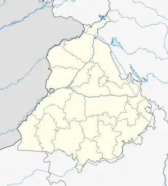 Mitha Location in Punjab, India  Mitha Mitha (India) | |
| Coordinates: 31°17′23″N 75°17′30″E / 31.289715°N 75.291653°E | |
| Country | |
| State | Punjab |
| District | Kapurthala |
| Government | |
| • Type | Panchayati raj (India) |
| • Body | Gram panchayat |
| Population (2011) | |
• Total | 209 |
| Sex ratio 106/103♂/♀ | |
| Languages | |
| • Official | Punjabi |
| • Other spoken | Hindi |
| Time zone | UTC+5:30 (IST) |
| PIN | 144620 |
| Telephone code | 01822 |
| ISO 3166 code | IN-PB |
| Vehicle registration | PB-09 |
| Website | kapurthala |
Mitha is a village in Kapurthala district of Punjab State, India.[1] It is located 16 kilometres (9.9 mi) from Kapurthala, which is both its district and sub-district headquarters. The village is administrated by a Sarpanch who is an elected representative.
Demography
According to the 2011 Census of India, Mitha had 45 houses and a population of 209, of which 106 were males and 103 females. The literacy rate was 71.82%, lower than the state average of 75.84%. The population of children under the age of 6 was 28, being 13.40% of total population, and the child sex ratio was approximately 474, lower than state average of 846.
Population data
| Particulars | Total | Male | Female |
|---|---|---|---|
| Total No. of Houses | 45 | - | - |
| Population | 209 | 106 | 103 |
| Child (0-6) | 28 | 19 | 9 |
| Schedule Caste | 44 | 27 | 17 |
| Schedule Tribe | 0 | 0 | 0 |
| Literacy | 71.82 % | 72.41 % | 71.28 % |
| Total Workers | 67 | 52 | 15 |
| Main Worker | 67 | 0 | 0 |
| Marginal Worker | 0 | 0 | 0 |
Air travel connectivity
The closest airport to the village is Sri Guru Ram Dass Jee International Airport.
Villages in Kapurthala
References
- ^ "Primary Census Abstract Data Tables – India: Final Population Totals". Office of the Registrar General & Census Commissioner, India. Ministry of Home Affairs, Government of India. 2011. Archived from the original on 11 July 2022. Retrieved 27 April 2025.
External links