Moccasin, Arizona
Moccasin, Arizona | |
|---|---|
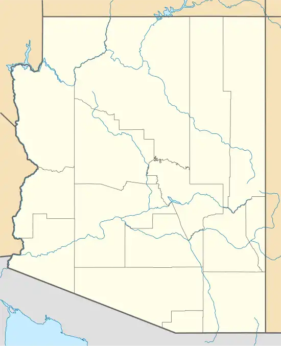
 Location in Mohave County, Arizona | |
 Moccasin  Moccasin | |
| Coordinates: 36°54′34″N 112°45′32″W / 36.90944°N 112.75889°W | |
| Country | United States |
| State | Arizona |
| County | Mohave |
| Area | |
• Total | 0.77 sq mi (1.98 km2) |
| • Land | 0.77 sq mi (1.98 km2) |
| • Water | 0.00 sq mi (0.00 km2) |
| Elevation | 5,063 ft (1,543 m) |
| Population | |
• Total | 53 |
| • Density | 69.19/sq mi (26.72/km2) |
| Time zone | UTC-7 (Mountain (MST)) |
| ZIP Code | 86022 (Fredonia) |
| Area code | 928 |
| GNIS feature ID | 2582828[2] |
| FIPS code | 04-47190 |
Moccasin is an unincorporated community and census-designated place in Mohave County, Arizona, United States. It is within the Kaibab Indian Reservation, and its population was 53 as of the 2020 census,[3] down from 89 at the 2010 census. It is bordered to the south by the CDP of Kaibab.
It is believed a moccasin-shaped shoe-print by a nearby spring caused the name to be selected.[4] Sometime in the late 1800s.
| Census | Pop. | Note | %± |
|---|---|---|---|
| 2010 | 89 | — | |
| 2020 | 53 | −40.4% | |
| U.S. Decennial Census[5] | |||
Education
The CDP is in the Fredonia-Moccasin Unified School District.[6]
References
- ^ "2021 U.S. Gazetteer Files: Arizona". United States Census Bureau. Retrieved May 24, 2022.
- ^ a b U.S. Geological Survey Geographic Names Information System: Moccasin, Arizona
- ^ a b "P1. Race – Moccasin CDP, Arizona: 2020 DEC Redistricting Data (PL 94-171)". U.S. Census Bureau. Retrieved May 24, 2022.
- ^ Moyer, Armond; Moyer, Winifred (1958). The Origins of Unusual Place-Names. Keystone Pub. Associates. p. 85.
- ^ "Census of Population and Housing". Census.gov. Retrieved June 4, 2016.
- ^ "2020 CENSUS - SCHOOL DISTRICT REFERENCE MAP: Mohave County, AZ" (PDF). U.S. Census Bureau. p. 2 (PDF p. 3/4). Retrieved October 4, 2024. - Text list
