Molepolole Airport
Molepolole Airport | |||||||||||
|---|---|---|---|---|---|---|---|---|---|---|---|
| Summary | |||||||||||
| Airport type | Closed | ||||||||||
| Serves | Molepolole, Botswana | ||||||||||
| Elevation AMSL | 3,790 ft / 1,155 m | ||||||||||
| Coordinates | 24°23′22″S 25°29′55″E / 24.38944°S 25.49861°E | ||||||||||
| Map | |||||||||||
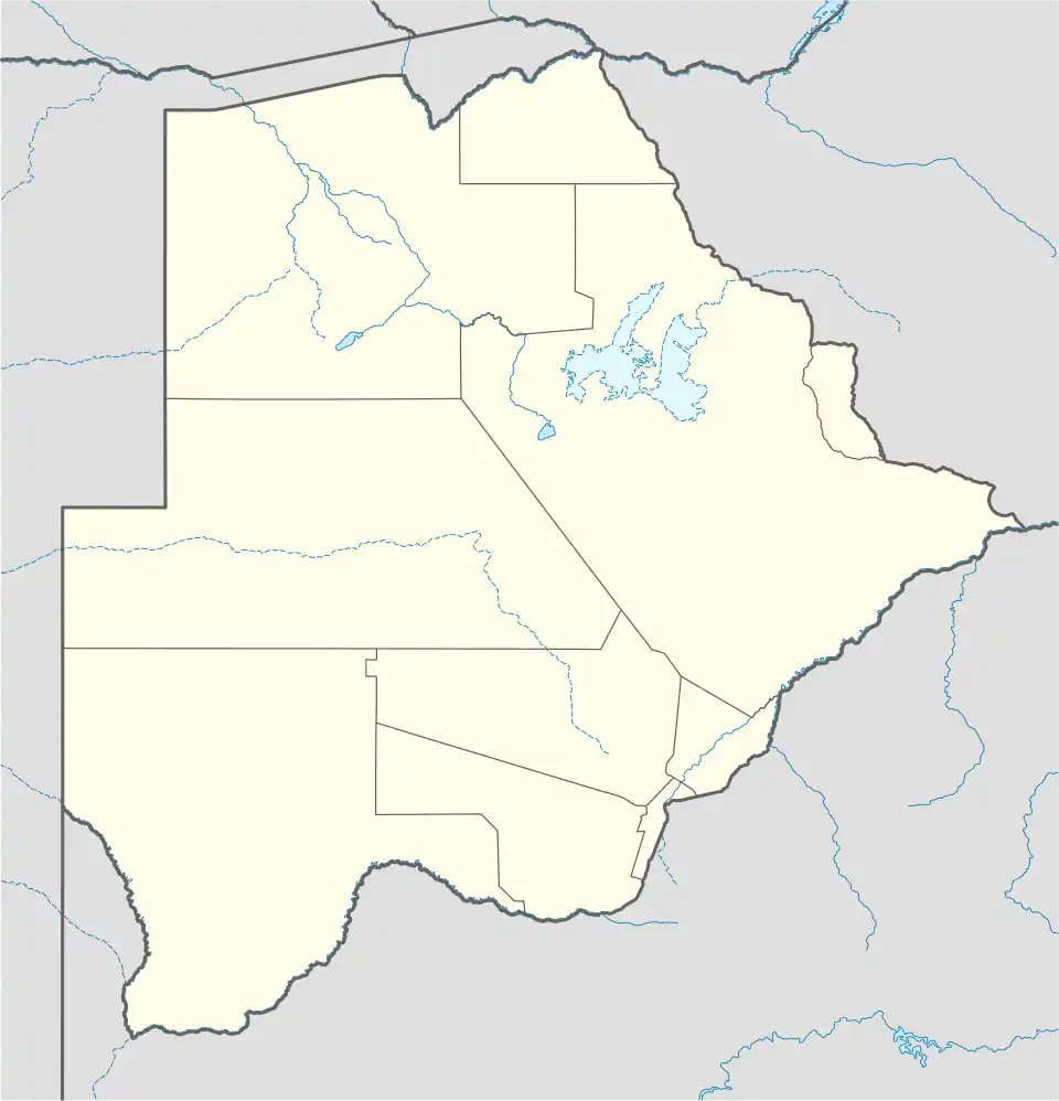 FBML Closed Location of Molepolole Airport in Botswana | |||||||||||
| Runways | |||||||||||
| |||||||||||
Molepolole Airport (ICAO: FBML) was an airport serving Molepolole, Botswana.
Google Earth Historical Imagery (September 2002) shows a 1,125 metres (3,691 ft) dirt runway. Current Google Maps imagery shows the runway overbuilt with buildings and a large parking area.[1]
Other airports in the area include Thebephatshwa Airport, 22 kilometres (14 mi) northwest, and Sir Seretse Khama International Airport, 44 kilometres (27 mi) southeast, by Gaborone.
See also
References
- ^ a b Airport record for Molepolole Airport at Landings.com. Retrieved 2013-09-02
- ^ "location of Molepolole Airport" (Map). Google Maps. Retrieved 2 September 2013.
External links