Monasterioguren
Monasterioguren | |
|---|---|
_13.jpg) | |
 Coat of arms | |
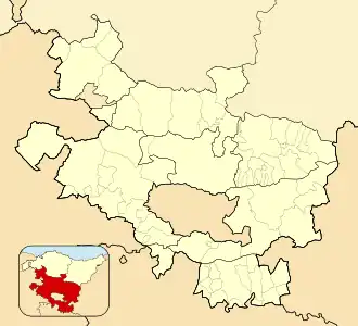 Monasterioguren 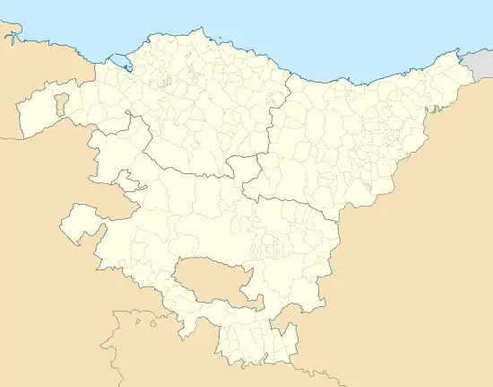 Monasterioguren 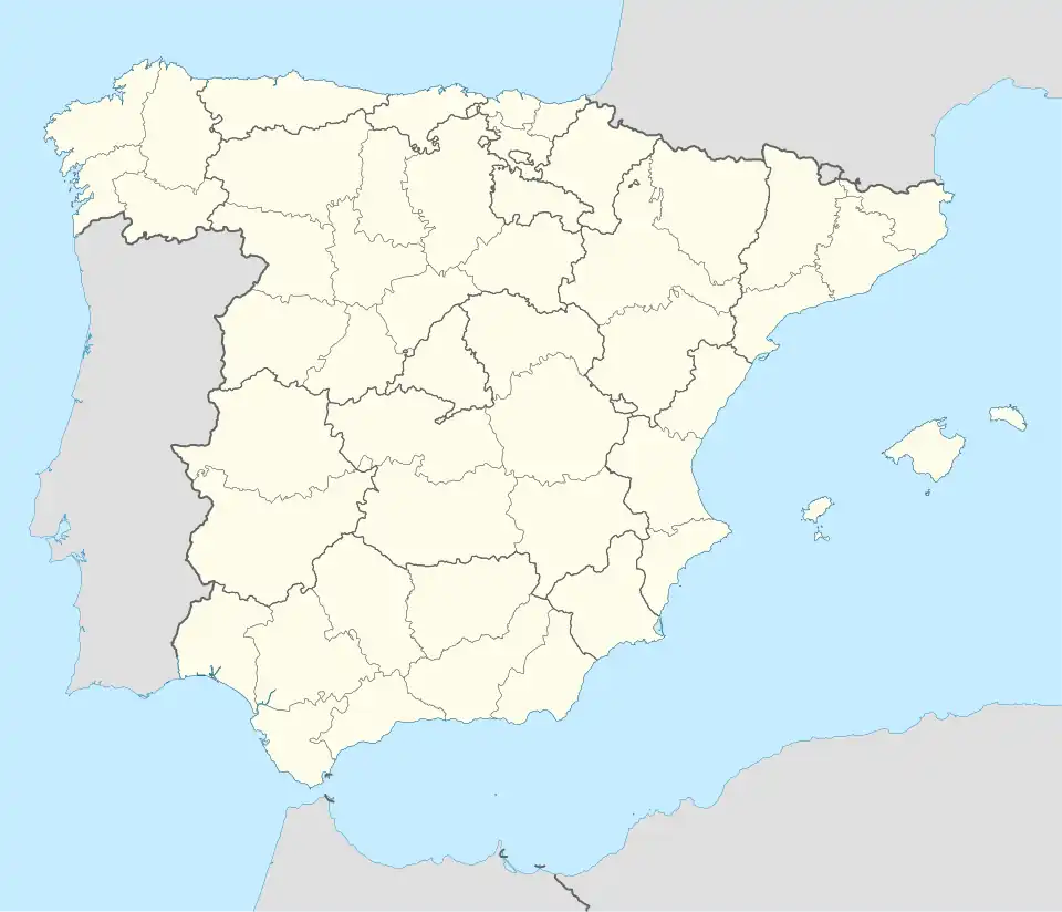 Monasterioguren | |
| Coordinates: 42°48′14″N 2°38′35″W / 42.8039°N 2.6431°W | |
| Country | Spain |
| Autonomous community | Basque Country |
| Province | Álava |
| Comarca | Vitoria-Gasteiz |
| Municipality | Vitoria-Gasteiz |
| Area | |
• Total | 5.4 km2 (2.1 sq mi) |
| Elevation | 590 m (1,940 ft) |
| Population (2022)[1] | |
• Total | 44 |
| • Density | 8.1/km2 (21/sq mi) |
| Postal code | 01194 |
Monasterioguren is a hamlet and concejo located in the municipality of Vitoria-Gasteiz, in Álava province, Basque Country, Spain.
References
- ^ "Nomenclátor: Núcleos". Entidades Locales de Álava (in Spanish). Diputación Foral de Álava. 1 January 2021. Retrieved 18 July 2023.
External links
 Media related to Monasterioguren at Wikimedia Commons