Monchique (parish)
Monchique | |
|---|---|
 Coat of arms | |
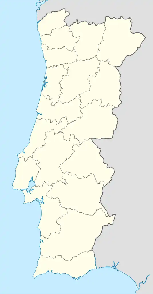 Monchique Location in Portugal | |
| Coordinates: 37°19′08″N 8°33′22″W / 37.319°N 8.556°W | |
| Country | |
| Region | Algarve |
| Intermunic. comm. | Algarve |
| District | Faro |
| Municipality | Monchique |
| Area | |
• Total | 159.28 km2 (61.50 sq mi) |
| Population (2011) | |
• Total | 4,817 |
| • Density | 30/km2 (78/sq mi) |
| Time zone | UTC+00:00 (WET) |
| • Summer (DST) | UTC+01:00 (WEST) |
| Website | jf-monchique.pt |
Monchique is a freguesia (parish) in Monchique Municipality (Algarve, Portugal). The population in 2011 was 4,817,[1] in an area of 159.28 km².[2]
Main sites
- Nossa Senhora do Desterro Convent
- Monchique Church or Nossa Senhora da Conceição Church
- Fóia, highest mountain in Algarve
References
- ^ Instituto Nacional de Estatística
- ^ "Áreas das freguesias, concelhos, distritos e país". Archived from the original on 2018-11-05. Retrieved 2018-11-05.