Montelíbano Airport
Montelíbano Airport | |||||||||||
|---|---|---|---|---|---|---|---|---|---|---|---|
| Summary | |||||||||||
| Airport type | Public | ||||||||||
| Serves | Montelíbano, Colombia | ||||||||||
| Elevation AMSL | 160 ft / 49 m | ||||||||||
| Coordinates | 7°58′20″N 75°25′58″W / 7.97222°N 75.43278°W | ||||||||||
| Map | |||||||||||
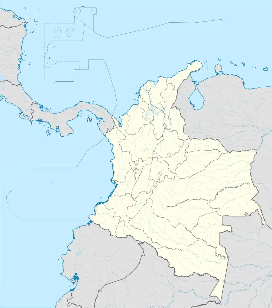 MTB Location of the airport in Colombia | |||||||||||
| Runways | |||||||||||
| |||||||||||
Montelíbano Airport (IATA: MTB, ICAO: SKML) is an airport serving the city of Montelíbano in the Córdoba Department of Colombia. The airport is 1 kilometre (0.62 mi) west of the town, near a bend in the San Jorge River.
The Montelibano non-directional beacon (Ident: MLB) is 3.2 nautical miles (5.9 km; 3.7 mi) northeast of the airport.[3]
See also
References
- ^ Airport information for MTB at Great Circle Mapper.
- ^ Google Maps - Montelíbano
- ^ MLB NDB
External links