Monterey, Louisiana
Monterey, Louisiana | |
|---|---|
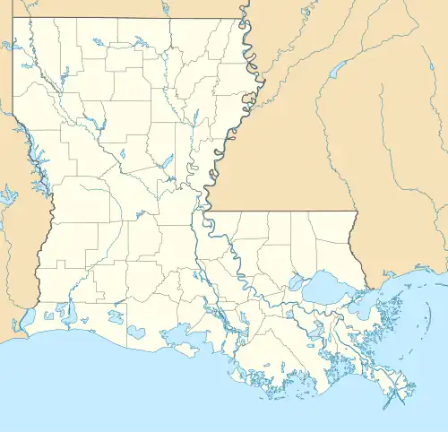 Monterey Location within Louisiana | |
| Coordinates: 31°26′37″N 91°43′09″W / 31.44361°N 91.71917°W[1] | |
| Country | |
| State | |
| Parish | Concordia |
| Area | |
• Total | 3.15 sq mi (8.15 km2) |
| • Land | 2.83 sq mi (7.34 km2) |
| • Water | 0.31 sq mi (0.81 km2) |
| Elevation | 52 ft (16 m) |
| Population (2020) | |
• Total | 474 |
| • Density | 167.25/sq mi (64.59/km2) |
| Time zone | UTC-6 (CST) |
| • Summer (DST) | UTC-5 (CST) |
| ZIP Codes | 71354 |
| Area Code | 318 |
| FIPS code | 22-51585 |
| GNIS feature ID | 2586696[1] |
Monterey is an unincorporated community and census-designated place (CDP) in Concordia Parish, Louisiana, United States. As of the 2010 census it had a population of 439.[3]
The community is located near the junction of Louisiana Highways 129 and 565 in west central Concordia Parish, southwest of Ferriday.[4] It is also part of the Natchez, MS–LA Micropolitan Statistical Area.
Monterey has a post office with the ZIP code 71354.[5] Public education in the community is provided by Concordia Parish Schools
Demographics
| Census | Pop. | Note | %± |
|---|---|---|---|
| 2020 | 474 | — | |
| U.S. Decennial Census[6] | |||
References
- ^ a b c U.S. Geological Survey Geographic Names Information System: Monterey, Louisiana
- ^ "2020 U.S. Gazetteer Files". United States Census Bureau. Retrieved March 20, 2022.
- ^ "Geographic Identifiers: 2010 Demographic Profile Data (G001): Monterey CDP, Louisiana". U.S. Census Bureau, American Factfinder. Archived from the original on February 12, 2020. Retrieved August 21, 2014.
- ^ "Place Names". Concord Parish, LAGenWeb. Retrieved January 9, 2010.
- ^ USPS – Cities by ZIP Code
- ^ "Census of Population and Housing". Census.gov. Retrieved June 4, 2016.
Municipalities and communities of Concordia Parish, Louisiana, United States | ||
|---|---|---|
| Cities |  | |
| Towns | ||
| CDPs | ||
| Other communities |
| |