Montijo, Spain
Montijo | |
|---|---|
City | |
.jpg) San Pedro church, Montijo | |
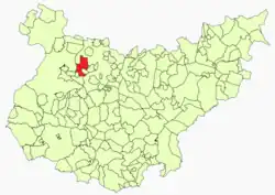 Location in Badajoz | |
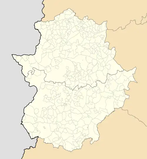 Montijo Location of Montijo within Extremadura | |
| Coordinates: 38°54′36″N 6°37′3″W / 38.91000°N 6.61750°W | |
| Country | |
| Autonomous Community | |
| Province | Badajoz |
| Comarca | Tierra de Mérida |
| Founded | Prerromanic |
| Government | |
| • Mayor | Manuel Gómez Rodríguez (PSOE) |
| Area | |
• Total | 119.7 km2 (46.2 sq mi) |
| Elevation (AMSL) | 201 m (659 ft) |
| Population (2018)[1] | |
• Total | 15,614 |
| • Density | 130/km2 (340/sq mi) |
| Time zone | UTC+1 (CET) |
| • Summer (DST) | UTC+2 (CEST (GMT +2)) |
| Postal code | 06480 |
| Area code | +34 (Spain) + 924 (Badajoz) |
| Website | Official website |
Montijo (Spanish: [monˈtixo] ⓘ) is a town and municipality in the province of Badajoz, in Extremadura, Spain. It has a population of 16,236 inhabitants (in 2010). It is located between Badajoz and Mérida, near Guadiana river banks. The extension of the municipality covers three different centers of population: Lácara, Barbaño and Montijo, the latter being the capital.
History
The Battle of Montijo was fought near the town in 1644.
See also
References
- ^ Municipal Register of Spain 2018. National Statistics Institute.