Montmelon
Montmelon | |
|---|---|
 Coat of arms | |
Location of Montmelon | |
 Montmelon 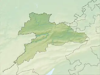 Montmelon | |
| Coordinates: 47°21′N 07°11′E / 47.350°N 7.183°E | |
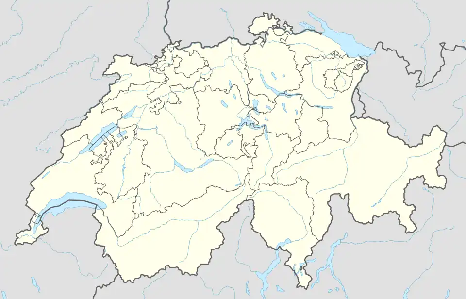
| Country | Switzerland |
| Canton | Jura |
| District | Porrentruy |
| Area | |
• Total | 1,197 km2 (462 sq mi) |
| Elevation | 594 m (1,949 ft) |
| Population (2003) | |
• Total | 114 |
| • Density | 0.095/km2 (0.25/sq mi) |
| Time zone | UTC+01:00 (Central European Time) |
| • Summer (DST) | UTC+02:00 (Central European Summer Time) |
| Postal code(s) | 2883 |
| SFOS number | 827 |
| ISO 3166 code | CH-JU |
| Localities | Montmelon-Dessus, Montmelon-Dessous, Ravines |
| Surrounded by | Asuel, Saint-Ursanne, Montenol, Epauvillers, Saint-Brais, Glovelier, Boécourt, Cornol, Courgenay, Seleute, Ocourt |
| Website | SFSO statistics |
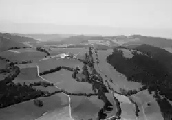
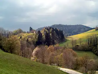
Montmelon is a village and former municipality in the district of Porrentruy in the canton of Jura in Switzerland.[1]
Since January 1, 2009 it is a part of the new municipality Clos du Doubs.[1]
The municipality was composed of several villages (Montmelon-Dessus, Montmelon-Dessous, Ravines) and of many dispersed farms. The municipality had approximately 100 inhabitants, many of whom are farmers.[1]
References
- ^ a b c "Montmelon". hls-dhs-dss.ch (in German). Retrieved 27 June 2025.
Wikimedia Commons has media related to Montmelon.